Meilen, municipality in the canton of Zürich, Switzerland
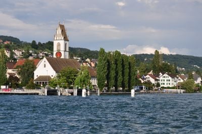
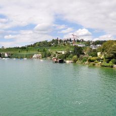
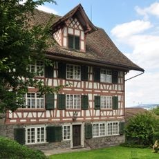
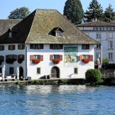
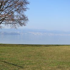
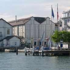
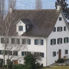
Meilen is a small town on the northern shore of Lake Zurich in Switzerland. The town features quiet streets lined with traditional houses, a modest harbor where ferries depart to neighboring areas, and a lakeside promenade with views across the water.
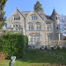
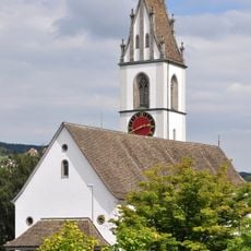
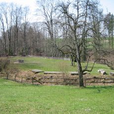
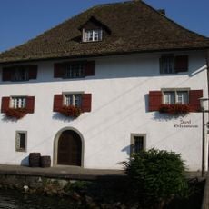
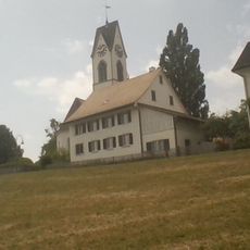
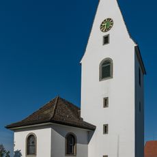
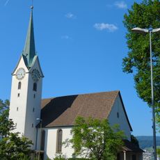
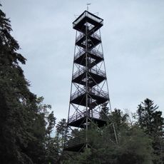
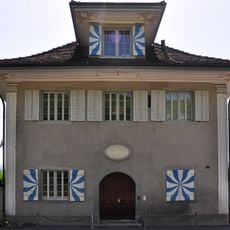
Meilen first appeared in written records around 820 to 880 and grew from a fishing village into a trading settlement. The town retains remains of Friedberg Castle, built around 1200, and is part of a UNESCO World Heritage site containing prehistoric pile dwellings that date back more than 4000 years.
The name Meilen reflects its location on the lakeshore, and locals continue to shape community life around Lake Zurich. You can observe how residents use the waterfront for daily activities, with ferries connecting nearby towns and families gathering along the promenade on summer evenings.
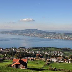
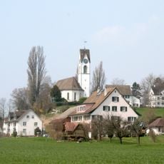
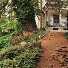
The town sits roughly 20 kilometers east of Zurich and is easily reached by train, making it ideal for a day trip. Paths through and around the town are flat and easy to walk, the waterfront is accessible, and in warm months swimming in the lake and picnicking in nearby parks are common activities.
The town is part of a UNESCO World Heritage site containing submerged prehistoric pile dwellings that archaeologists continue to study. These ancient remains reveal that people have lived here for more than 4000 years, making the area a window into very early European settlement.
The community of curious travelers
AroundUs brings together thousands of curated places, local tips, and hidden gems, enriched daily by 60,000 contributors worldwide.