Wattwil, municipality in the canton of St. Gallen in Switzerland
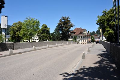
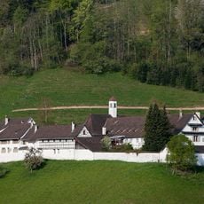
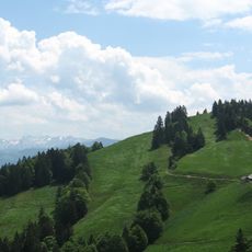
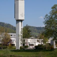
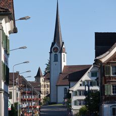
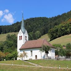
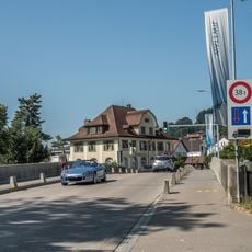
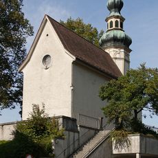
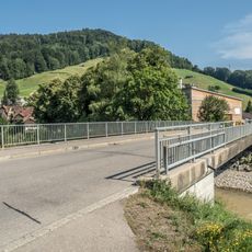
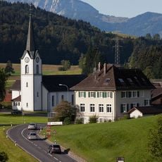
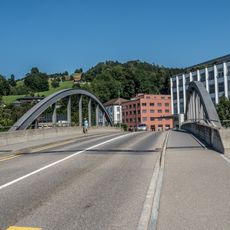
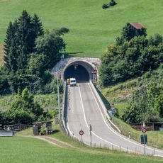
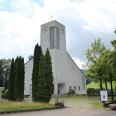
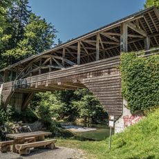
Wattwil is a small town in Switzerland located in the Toggenburg region along the Thur river. It features traditional farmhouses and stone buildings arranged around a calm town center, with forests and green fields extending into the surrounding hills and mountains.
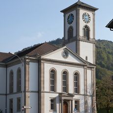
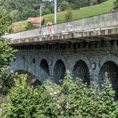
Wattwil began as a farming settlement along the Thur river. In the 19th and 20th centuries, the town grew as a textile manufacturing center, with factories becoming the backbone of its economy before the industry gradually shifted.
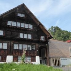
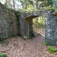
The name Wattwil comes from old Germanic words meaning 'Watto's village,' named after an early settler or landowner. Walking through town, you notice how traditional farmhouses and simple stone buildings reflect the local way of life and connection to the surrounding countryside.
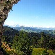
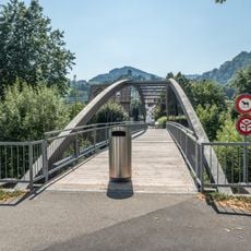
The town is easily reached by train with regular connections to larger cities like Zurich and St. Gallen. Once there, you can walk around easily or rent a bike to explore the surrounding trails and mountain paths that start from the town center.
Wattwil was once a major textile hub where the sound of looms filled the workday, before the industry shifted and the town adapted to new economic paths. Visitors can still spot older factory buildings scattered through town that stand as reminders of this manufacturing past.
The community of curious travelers
AroundUs brings together thousands of curated places, local tips, and hidden gems, enriched daily by 60,000 contributors worldwide.