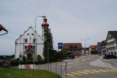
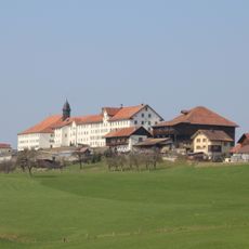
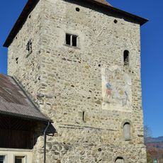
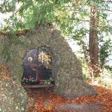
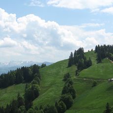
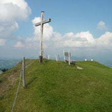
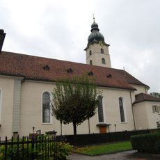
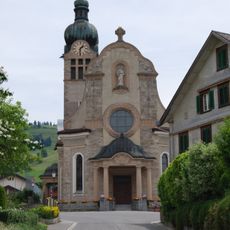
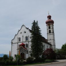
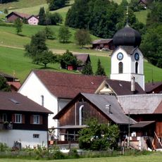
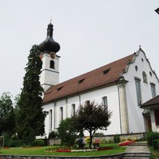
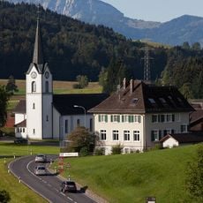
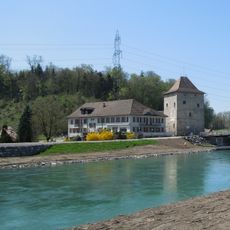
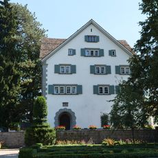
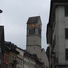
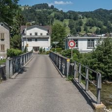
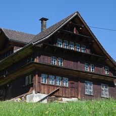
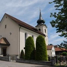
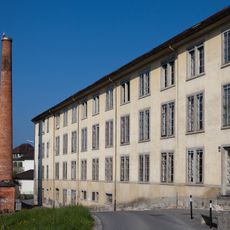
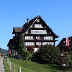
Gommiswald, municipality in Switzerland
Location: See-Gaster Constituency
Elevation above the sea: 590 m
Shares border with: Ebnat-Kappel, Eschenbach, Uznach, Wattwil, Kaltbrunn
Website: http://gommiswald.ch
GPS coordinates: 47.24043,9.04745
Latest update: April 3, 2025 20:19
Mount Zion Abbey
2.3 km
Grynau Tower
6.4 km
Maria Bildstein
5.7 km
Tweralpspitz
5.9 km
Uznaburg castle ruins
6.5 km
Tanzboden
5 km
Bibiton Castle
4.5 km
Burg Wandelberg
6.2 km
Beobachtungsturm Kaltbrunner Ried
5.6 km
Beobachtungsturm Kaltbrunner Ried
5.4 km
Church Peter and Paul at Benken SG
5.6 km
Kirche von Rieden SG
2.3 km
Thur/SOB-Umfahrungsstrasse-Brücke
5.9 km
Kirche von Gommiswald
2.1 km
Maseltrangen, katholische Kirche St. Johannes Nepomuk
5.6 km
St. George catholic church
3.4 km
Grynau-Brücke
6.4 km
Church building
2.8 km
Kapelle St. Ursula, Rüeterswil
4.8 km
Castle with Castle Chapel
6.4 km
Mettlensteg
6 km
Felsenstein
6 km
Katholische Kirche Uznach
4.9 km
Eichbrücke
6 km
Geburtshaus Ulrich Bräker, Nr. 1219, Näppis
5.1 km
Pfarrkirche Walde
4.3 km
Ehemalige Seidenweberei Schubiger
5 km
Haus Steiner
5.5 kmVisited this place? Tap the stars to rate it and share your experience / photos with the community! Try now! You can cancel it anytime.
Discover hidden gems everywhere you go!
From secret cafés to breathtaking viewpoints, skip the crowded tourist spots and find places that match your style. Our app makes it easy with voice search, smart filtering, route optimization, and insider tips from travelers worldwide. Download now for the complete mobile experience.
A unique approach to discovering new places❞
— Le Figaro
All the places worth exploring❞
— France Info
A tailor-made excursion in just a few clicks❞
— 20 Minutes