
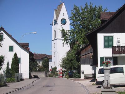
Mönchaltorf, municipality in Switzerland
Location: Uster District
Location: Zürich
Elevation above the sea: 442 m
Shares border with: Maur
Website: http://moenchaltorf.ch
GPS coordinates: 47.31139,8.72222
Latest update: March 11, 2025 11:21
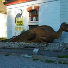
Aathal Dinosaur Museum
4.3 km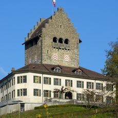
Castle with outbuildings and garden
3.8 km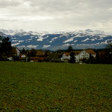
Grüt
4.5 km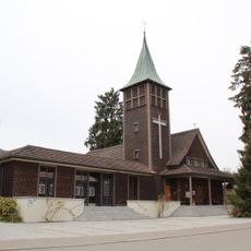
St. Antonius Church, Egg
3 km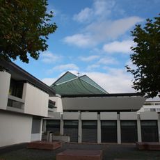
St. Andrew Church
4.3 km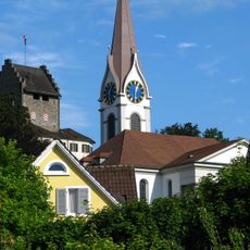
Reformed church
3.9 km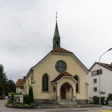
Uster free church
4.1 km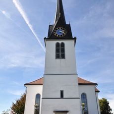
Reformed church
3.3 km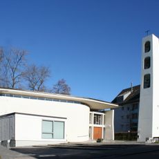
Maria Krönung Gossau
3.1 km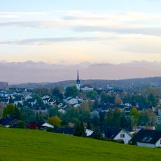
Gossau-Dorf
2 km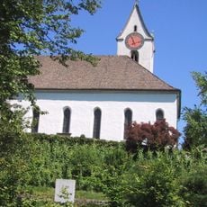
Reformierte Kirche Egg
2.6 km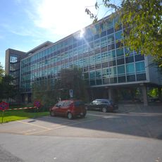
Verwaltungsgebäude mit Park
4.1 km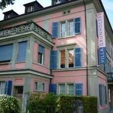
Ehemalige Fabrikantenvilla Trüb / Grunholzer / Zangger
4 km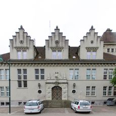
Bezirksgebäude Uster
4.4 km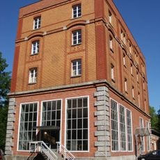
Former brewery Bartenstein with villa
3.8 km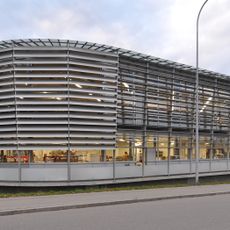
Buchbinderei BUBU
859 m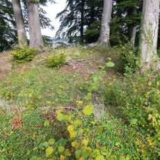
Burgstelle Liebenberg
1.5 km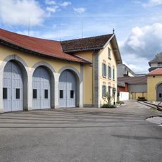
Bahnhof mit zwei Lok-Remisen
4.4 km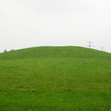
Robank, prähistorischer Grabhügel
4 km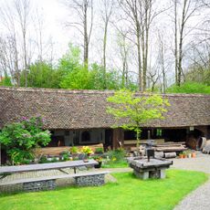
Sog. Thommensägi
2.9 km
Ramparts
2.5 km
Lakeside settlement
2.6 km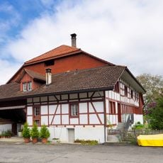
Rällikon, Doppelwohnhaus (1535, 18. und 19. Jh., ehem. Taverne)
1.9 km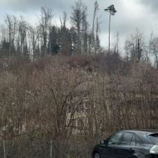
Burgstelle Aathalrain
4.5 km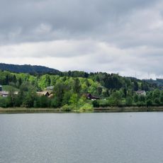
Lakeside settlement
2.6 km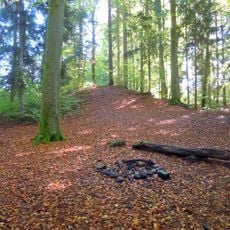
Heidenburg, Wallanlage
4.1 km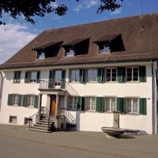
Niederuster, Hertermühle (1. Hälfte 19. Jh.) mit Oekonomiegebäude
4.1 km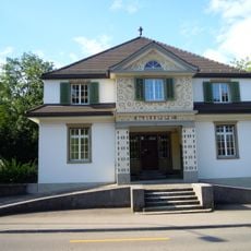
Day nursery
4 kmVisited this place? Tap the stars to rate it and share your experience / photos with the community! Try now! You can cancel it anytime.
Discover hidden gems everywhere you go!
From secret cafés to breathtaking viewpoints, skip the crowded tourist spots and find places that match your style. Our app makes it easy with voice search, smart filtering, route optimization, and insider tips from travelers worldwide. Download now for the complete mobile experience.

A unique approach to discovering new places❞
— Le Figaro
All the places worth exploring❞
— France Info
A tailor-made excursion in just a few clicks❞
— 20 Minutes