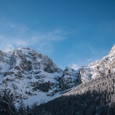
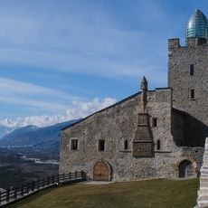
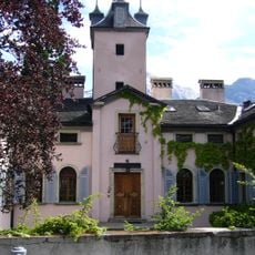
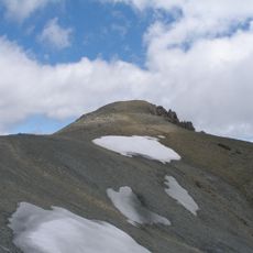
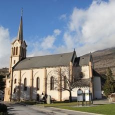
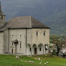
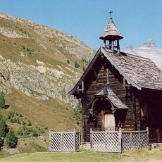
Albinen, municipality in the canton of Valais in Switzerland
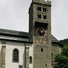
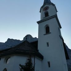
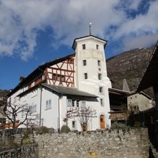
Albinen is a small municipality in the Valais region situated on a steep slope above the Rhone Valley. The village displays typical Walliser architecture with dark wooden buildings and narrow streets that follow the hillside terrain.
The village developed as a settlement in the Walliser Alps and evolved over centuries as an agricultural community. The traditional structure of the village has remained largely unchanged to the present day.
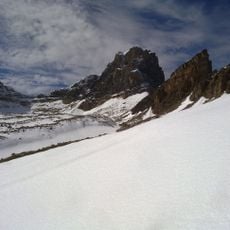
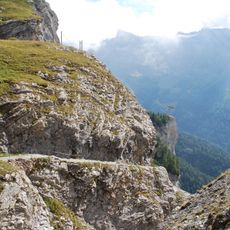
The location sits at high elevation and is reachable only via steep paths or winding roads, which visitors should prepare for. Access is easiest during dry months, and sturdy footwear is recommended.
The community of curious travelers
AroundUs brings together thousands of curated places, local tips, and hidden gems, enriched daily by 60,000 contributors worldwide.