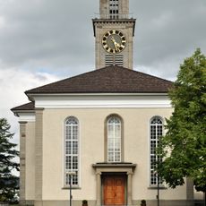
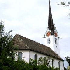
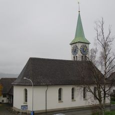
Thalwil, municipality in the canton of Zürich, Switzerland
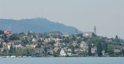
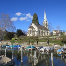
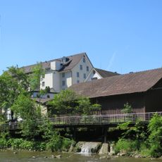
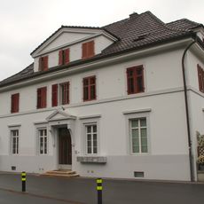
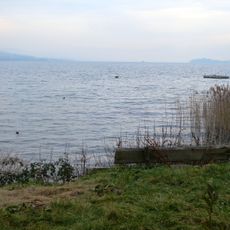
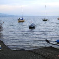
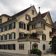
Thalwil is a municipality on the eastern shore of Lake Zurich, in the canton of Zurich, Switzerland. The built landscape mixes older residential houses with newer constructions, and the lakeshore runs through the town with open paths and green areas along the water.
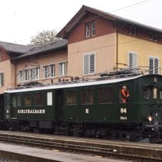
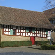
Thalwil appeared in written records around 1030 and grew from a farming settlement on the lake's edge. The arrival of the railway in the 19th century changed the town's pace and opened it up to broader economic growth.
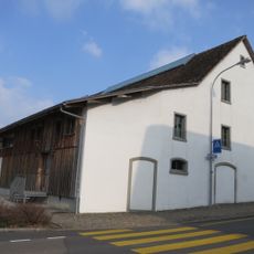
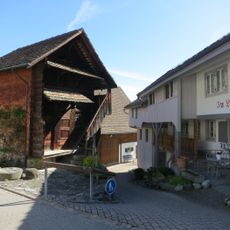
The name Thalwil is thought to derive from an early medieval farmstead, and that rural origin still shows in some of the older parts of the town. Along the lakeshore, people gather to walk and sit outside, and the water remains a central part of daily life here.
Thalwil has a railway station with regular connections to Zurich and other parts of the canton, making the town center easy to reach. The lakeshore is accessible on foot and works well for a walk at any time of day.
The oldest part of Thalwil, called Ludretikon, was already recorded in 915, well over a century before Thalwil itself appeared in documents. That makes it one of the earliest written references to any settlement along Lake Zurich's shores.
The community of curious travelers
AroundUs brings together thousands of curated places, local tips, and hidden gems, enriched daily by 60,000 contributors worldwide.