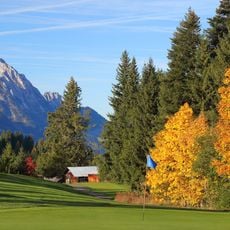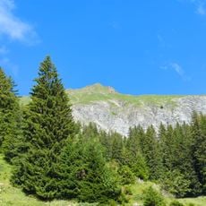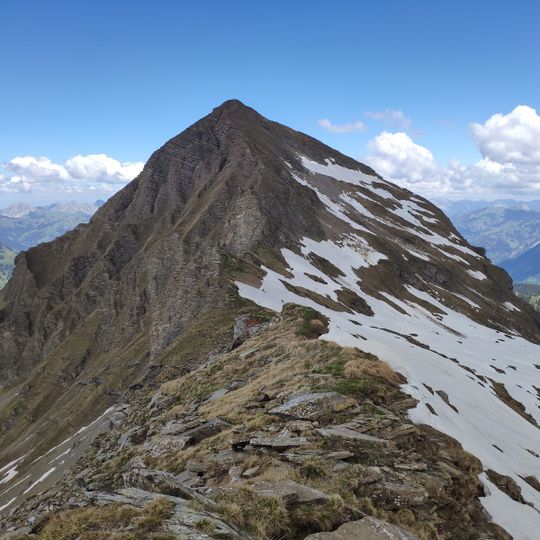
Giferspitz, Mountain summit in Bernese Alps, Switzerland
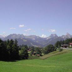
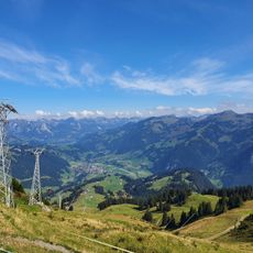
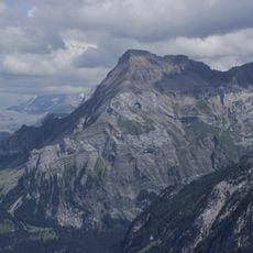
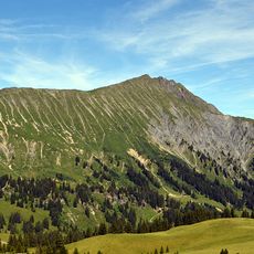
Giferspitz is a 2,542-metre summit in the western Bernese Alps, the highest point of the municipality of Saanen and the highest elevation between Gstaad and Lenk. Its pronounced south ridge runs toward the 2,477-metre Lauenehore; the Turbachbach valley separates it from the Wistätthorn (2,362 m) to the east, the Turnelsbach valley from the Wasserngrat (2,191 m) to the west. Gstaad lies about six kilometres northwest as the crow flies.
The sources record no documented historical events for the Giferspitz; its recorded facts are geographic. At 2,542 m it is the highest point of the municipality of Saanen and the highest summit of the massif between Gstaad and Lenk, north of the Wildhorn. It is reached by a trail on the northern side, from Turbach.
The name Giferspitz likely derives from a local alpine term, though the sources do not explain it. The summit marks the highest point of the municipality of Saanen, so it functions as a boundary landmark for the communities around Gstaad and Lenk. Hikers on the northern trail from Turbach pass through terrain used by local herders.
The ascent demands mountain experience and involves steep sections with exposed terrain. Best conditions for hiking occur during stable weather in the warmer months.
The Giferspitz is the highest point of the municipality of Saanen, higher than any summit around Gstaad, and the highest elevation between Gstaad and Lenk. Its neighbours are the Wistätthorn (2,362 m) across the Turbachbach valley to the east, the Lauenehore (2,477 m) along the south ridge, and the Wasserngrat (2,191 m) beyond the Turnelsbach valley to the west.
The community of curious travelers
AroundUs brings together thousands of curated places, local tips, and hidden gems, enriched daily by 92,816 contributors worldwide.