
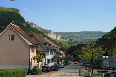
Mümliswil-Ramiswil, municipality in the canton of Solothurn in Switzerland
Location: Thal District
Elevation above the sea: 556 m
Website: https://muemliswil-ramiswil.ch
GPS coordinates: 47.34083,7.70333
Latest update: March 7, 2025 12:11
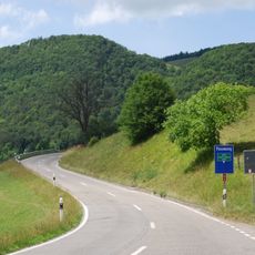
Passwang Pass
3.9 km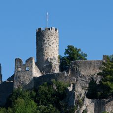
Neu-Falkenstein Castle
2.1 km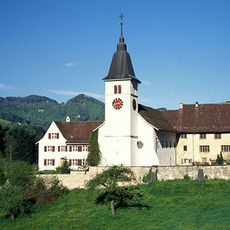
Beinwil Abbey
9.1 km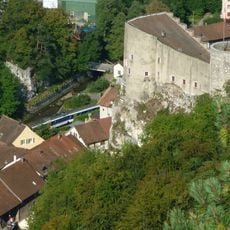
Alt-Falkenstein Castle
2.1 km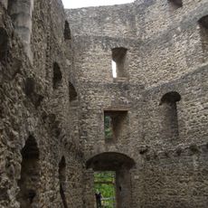
Gilgenberg castle ruin
8.7 km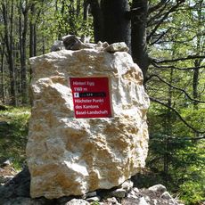
Hinteri Egg
3.6 km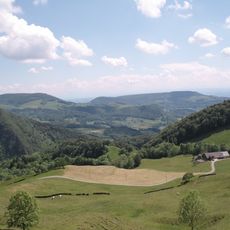
Parc naturel Thal
3.3 km
Upper Winde
9.3 km
Ruins Ramstein
6.6 km
Vogelberg
3.8 km
Sun Inn
6.3 km
St. Pankratius parish church
7.3 km
St. John chapel
9.1 km
Energy Park
4.4 km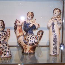
Ceramics museum
6.9 km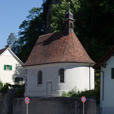
St. Joseph chapel
3.9 km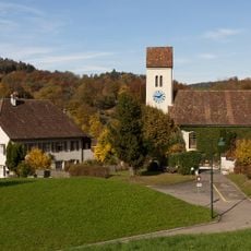
Evangelical reformed church with rectory and outbuildings
7.4 km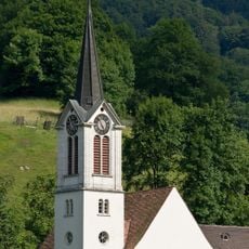
Reformed church
6.2 km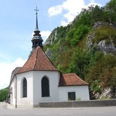
St. Wolfgang chapel
2.2 km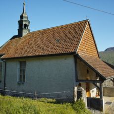
St. Jakobs chapel
3.1 km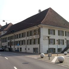
Gasthof Rössli
2.8 km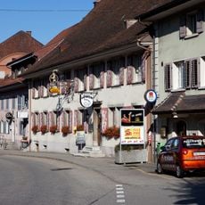
Gasthof zum Löwen
2.8 km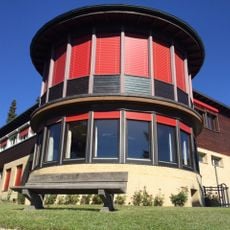
Former children's home
721 m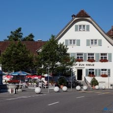
Zum Kreuz Inn
2.9 km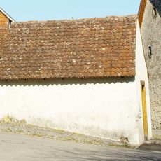
Washhouse
3.1 km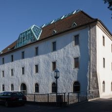
Old granary
2.9 km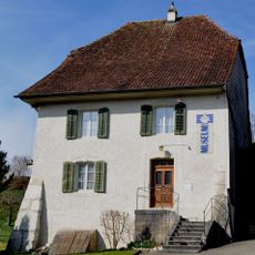
Rectory
6.9 km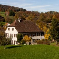
Evangelical Reformed Rectory
7.4 kmVisited this place? Tap the stars to rate it and share your experience / photos with the community! Try now! You can cancel it anytime.
Discover hidden gems everywhere you go!
From secret cafés to breathtaking viewpoints, skip the crowded tourist spots and find places that match your style. Our app makes it easy with voice search, smart filtering, route optimization, and insider tips from travelers worldwide. Download now for the complete mobile experience.

A unique approach to discovering new places❞
— Le Figaro
All the places worth exploring❞
— France Info
A tailor-made excursion in just a few clicks❞
— 20 Minutes