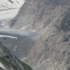
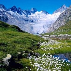
Aar Glaciers, Alpine glacier system in Bernese Alps, Switzerland
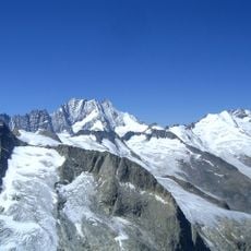
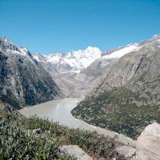
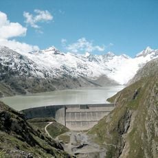
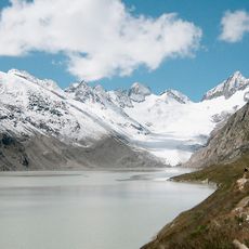
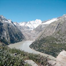
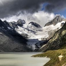
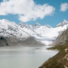
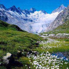
The Aar Glaciers are two connected ice systems, the Unteraargletscher and Oberaargletscher, located in the Bernese Alps and serving as the source of Switzerland's longest river. These frozen masses form a dramatic high-altitude landscape that can be explored on foot from the surrounding terrain.
Scientific study began in 1827 with Franz Joseph Hugi, followed by Louis Agassiz, Édouard Desor, Carl Vogt and Hercule Nicolet between 1840 and 1853, who focused on how fast glacier ice flows. Hugi's research hut on the glacier shifted 100 m by 1830, 724 m by 1836 and 1428 m by 1842. During the last cold periods the glaciers reached far north and joined the Rhône and Rhine glaciers in the Mittelland.
The name "Aargletscher" is used in German for both one glacier and the plural, marked only by the article. The glaciers feed the Aare, which rises from the Oberaargletscher and shortly after takes in the meltwater of the Unteraargletscher. The surrounding Aarhörner summits exceed 3,600 metres, two of them above 4,000.
The best time to visit is during warmer months when paths and mountain passes are more passable without heavy snow and ice. Access is via the Grimsel Pass road, which also leads to the hospice building offering lodging and food for those planning to stay overnight.
The Oberaargletscher displays particularly visible glacial streams and crevasses that hikers can observe up close on their approach. The gorge below this ice mass reveals how glaciers continue to shape the landscape through erosion and meltwater flows.
The community of curious travelers
AroundUs brings together thousands of curated places, local tips, and hidden gems, enriched daily by 93,782 contributors worldwide.