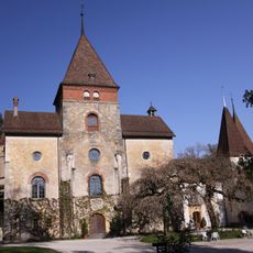
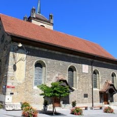
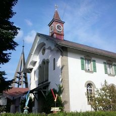
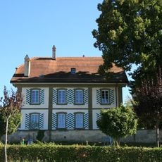
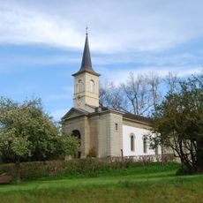
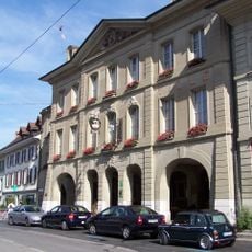
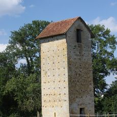
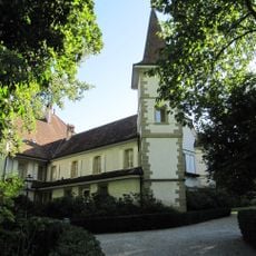
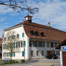
Villarepos, Neighborhood in Canton of Fribourg, Switzerland.
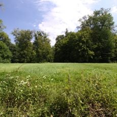
Villarepos covers an area of approximately 4.76 square kilometers featuring agricultural lands that occupy more than half of the territory alongside substantial forested regions comprising about one-third of the landscape.
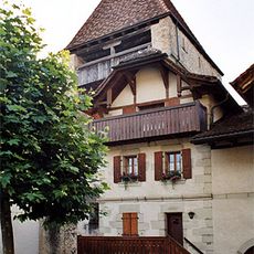
First documented in 1332 under the name Villarepot, Villarepos functioned as an independent municipality before administrative consolidation integrated it into larger territorial entities within the Swiss governmental framework.
The community maintains a predominantly French-speaking population at 78.4% with German speakers representing 19.4%, reflecting the bilingual nature of Canton Fribourg and Switzerland's multilingual heritage and communication traditions.
Located at approximately 493 meters elevation with postal code 1583, Villarepos remains accessible via regional transportation networks and maintains an official website at www.villarepos.ch for administrative information and local resources.
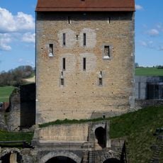
The coat of arms displays a tower embattled argent on a gules background accompanied by a boar salient or armed with the second, likely representing medieval defensive structures or historical hunting traditions associated with the area.
The community of curious travelers
AroundUs brings together thousands of curated places, local tips, and hidden gems, enriched daily by 60,000 contributors worldwide.