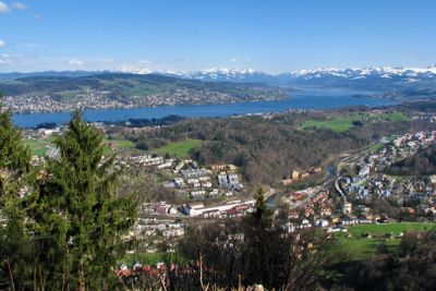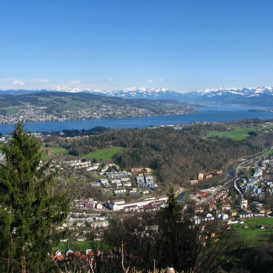
Langnau am Albis, municipality in Switzerland
AroundUs brings together thousands of curated places, local tips, and hidden gems, enriched daily by 60,000 contributors worldwide. Discover all places nearby (Horgen District).
Sihlwald
2.6 km
Langenberg Wildlife Park
995 m
Hochwacht Observation tower
2.5 km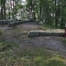
Castle ruins "Schnabelburg" and other fortifications
3 km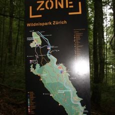
Zurich Wilderness Park
2.6 km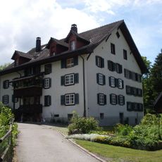
Aeugstertal
4.1 km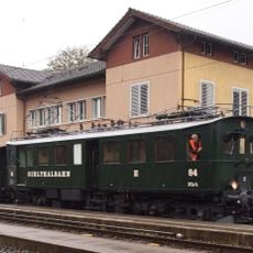
Zürcher Museums-Bahn
2.6 km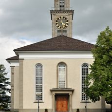
Reformed church
2.1 km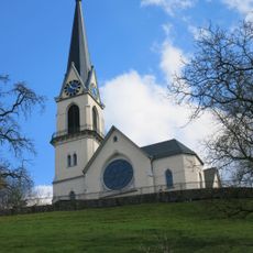
Reformierte Kirche Adliswil
2.4 km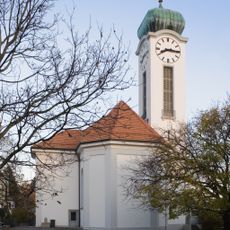
Felix Regula Thalwil
1.6 km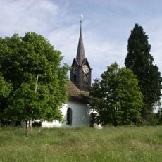
Reformed church (1667) with rectory
4.7 km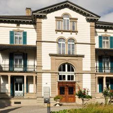
So-called Jenny Schloss with outbuilding
1.9 km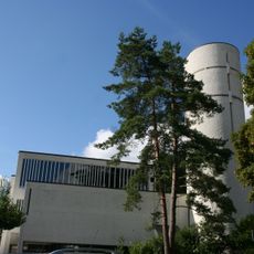
St. Marien church
435 m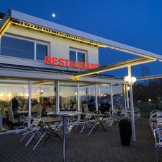
Albispass
2.1 km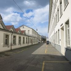
Ehemalige mechanisierte Seidenweberei mit MSA-Steg (1907) und Wohnsiedlung Sihlau
2.2 km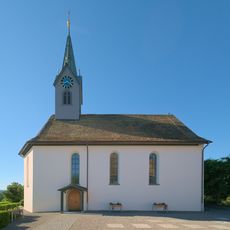
Reformed church
540 m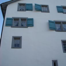
Schloss Langnau
188 m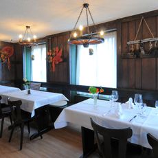
Grundsteinweg
1.8 km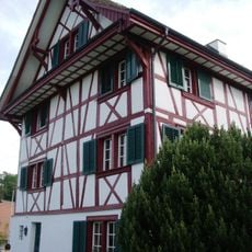
Pfarrhaus Aeugst am Albis
4.7 km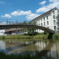
Sihlausteg
2 km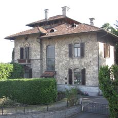
Usteri villa with gatehouse
2 km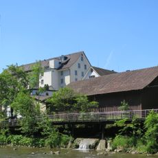
Former spinning mill Staub with factory owner's villa
294 m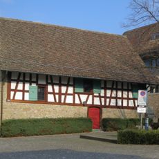
Pfistergut, former Trotte an der Strass
1.9 km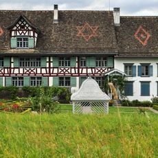
Pfistergut, wine farmhouse with trough and barn
1.9 km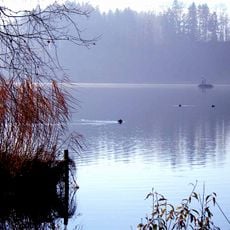
Seeufersiedlung
3.9 km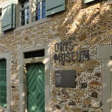
Thalwil local museum
1.9 km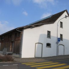
Pfistergut, barn
1.9 km
Neolithic lakeside settlement
3.5 kmDiscover hidden gems everywhere you go!
From secret cafés to breathtaking viewpoints, skip the crowded tourist spots and find places that match your style. Our app makes it easy with voice search, smart filtering, route optimization, and insider tips from travelers worldwide. Download now for the complete mobile experience.

A unique approach to discovering new places❞
— Le Figaro
All the places worth exploring❞
— France Info
A tailor-made excursion in just a few clicks❞
— 20 Minutes
