
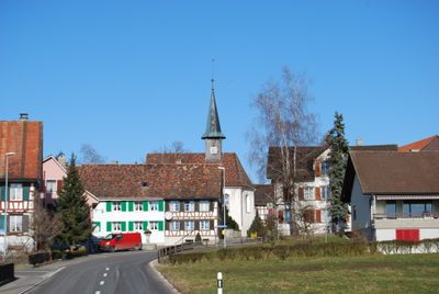
Raperswilen, municipality in the canton of Thurgau in Switzerland
Location: Kreuzlingen District
Location: Thurgau
Elevation above the sea: 582 m
Shares border with: Wigoltingen, Wäldi
Website: https://raperswilen.ch
GPS coordinates: 47.63676,9.04676
Latest update: March 31, 2025 05:22
Arenenberg
4.1 km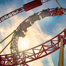
Conny-Land
2.6 km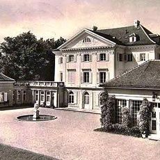
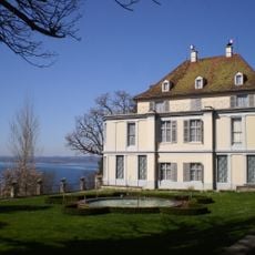
Eugensberg Castle
3.4 km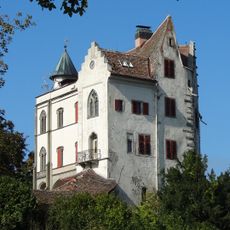
Schloss Salenstein
3.7 km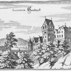
Schloss Sandegg
3.8 km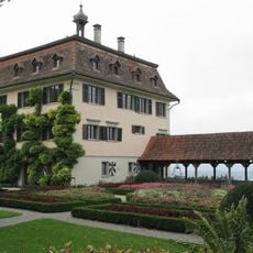
Schloss Wolfsberg, Ermatingen
3.4 km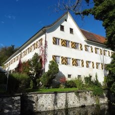
Schloss Klingenberg
3.6 km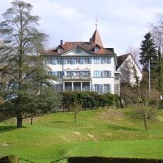
Louisenberg Castle
3.9 km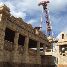
Cobra
2.6 km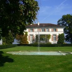
Villa Lilienberg
4.1 km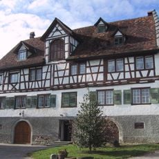
Schloss Hueb, Fruthwilen
2.8 km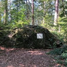
Grauer Stein
3.3 km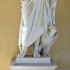
Napoleon museum Arenenberg
4.1 km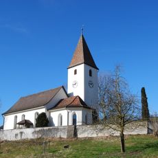
Reformed church
2.2 km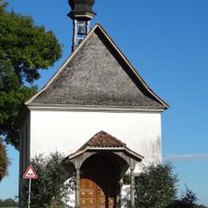
Kapelle St. Nikolaus, Oberkappel
3.9 km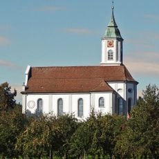
St. Peter and Paul catholic church
2.9 km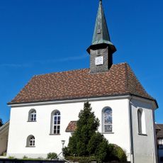
Church Raperswilen
603 m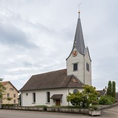
Evangelische Kirche Wäldi
3.6 km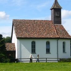
St. Antonius Kapelle, Reutenen
2.1 km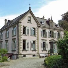
Villa Breitenstein
4 km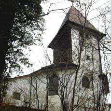
Kapelle St. Aloysius
3.9 km
Haidenhaus, römisches Heiligtum
3.5 km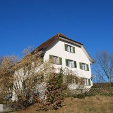
Evangelisches Pfarrhaus Lipperswil
2.3 km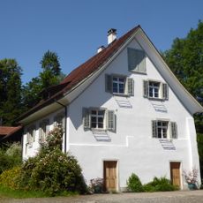
Residential house
3.6 km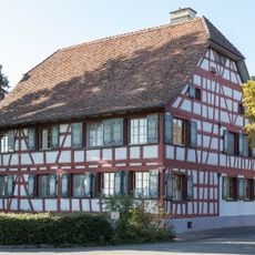
Kellhof Lipperswil
2.4 km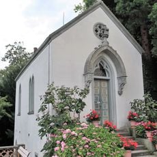
Schlosskapelle Arenenberg
4.1 km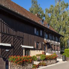
Birkenhof Lipperswil
2.4 km
Schanz
2.3 kmVisited this place? Tap the stars to rate it and share your experience / photos with the community! Try now! You can cancel it anytime.
Discover hidden gems everywhere you go!
From secret cafés to breathtaking viewpoints, skip the crowded tourist spots and find places that match your style. Our app makes it easy with voice search, smart filtering, route optimization, and insider tips from travelers worldwide. Download now for the complete mobile experience.

A unique approach to discovering new places❞
— Le Figaro
All the places worth exploring❞
— France Info
A tailor-made excursion in just a few clicks❞
— 20 Minutes