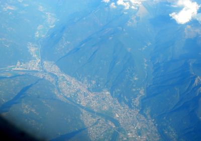
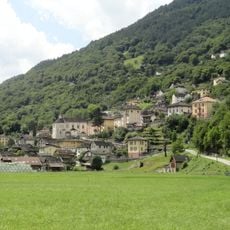
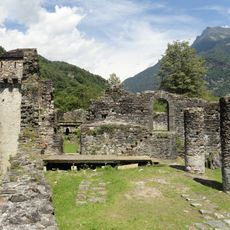
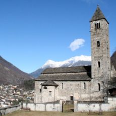
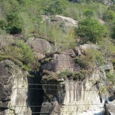
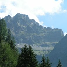
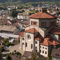
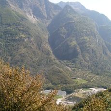
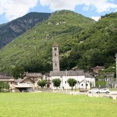
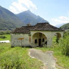
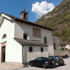
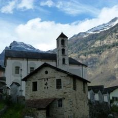
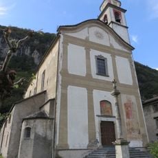
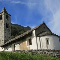
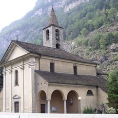
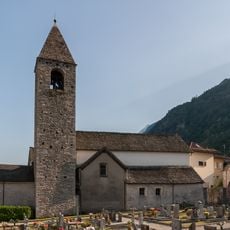
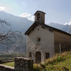
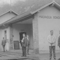
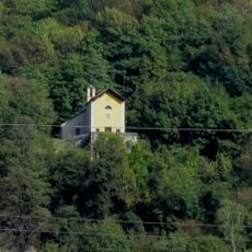
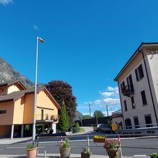
Riviera District, district of the canton of Ticino, Switzerland
Location: Ticino
Elevation above the sea: 264 m
Shares border with: Blenio District, Leventina District, Locarno District, Bellinzona District, Moesa District
GPS coordinates: 46.35000,8.98333
Latest update: March 11, 2025 06:51
Semione
5.7 km
Ruins of the medieval castle Serravalle
7 km
Chiesa San Pietro e Paolo (Biasca)
1.3 km
Sbarramento Lodrino-Osogna
1.3 km
Torent Alto
6.8 km
San Carlo Parish Church
1.4 km
Rifugio Domàs
6.3 km
Pizzo Magn
2.3 km
Biaschina power plant control station
4.5 km
Pizzo di Campedell
7 km
Santo Stefano
6.4 km
San Martino Parish Church with ossuary and churchyard
6 km
Santa Maria del Castello Oratory
7 km
Santi Felino e Gratiniano Parish Church
4.1 km
Santa Maria Assunta Church with ossuary
6.5 km
Parish Church of San Ambrogio in Lodrino
5.4 km
Church of San Martino
4.6 km
Chiesa dei Santi Innocenti
3.7 km
Parochial church of Santi Martiri Maccabei
2.6 km
Church of Santa Maria del Castello
4 km
Malvaglia Rongie railway station
7 km
Church of the Santa Pietà
5.2 km
Ponte
2 km
Cappella di San Dionigi
6.3 km
Cavalier Pellanda House
1.5 km
Biaschina hydroelectric power station
7.3 km
Laù Bridge
6.7 km
Ruin of the medieval pagan house
6.8 kmReviews
Visited this place? Tap the stars to rate it and share your experience / photos with the community! Try now! You can cancel it anytime.
Discover hidden gems everywhere you go!
From secret cafés to breathtaking viewpoints, skip the crowded tourist spots and find places that match your style. Our app makes it easy with voice search, smart filtering, route optimization, and insider tips from travelers worldwide. Download now for the complete mobile experience.
A unique approach to discovering new places❞
— Le Figaro
All the places worth exploring❞
— France Info
A tailor-made excursion in just a few clicks❞
— 20 Minutes