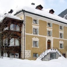
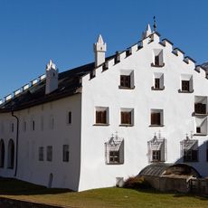
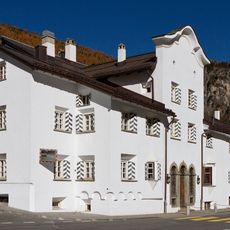
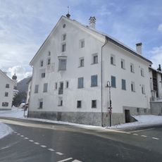
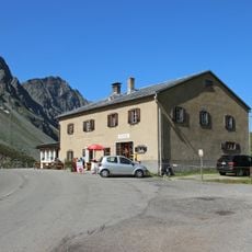
Piz Kesch, Mountain summit in Grisons, Switzerland.
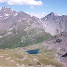
Piz Kesch is a 3,418-metre peak in the Albula Alps, the highest in that range and in the municipality of Bergün Filisur. Its highest point lies in the west, with a partly sharp ridge running southeast to a middle summit at 3,405 metres and on to the Aguoglia d'Es-cha (3,386 m). The Vadret da Porchabella glacier wraps the mountain from north to east.
The mountain was first climbed in 1846 when mountaineers reached the western summit and opened new routes to the peak. This early exploration established climbing traditions that continue in the region today.
The mountain carries two names here: Piz Kesch in German and Piz d'Es-cha in Romansh, reflecting the linguistic diversity of the Grisons region. Both names are equally rooted in local communities and show how people maintain deep ties to their landscape.
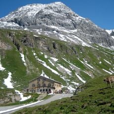
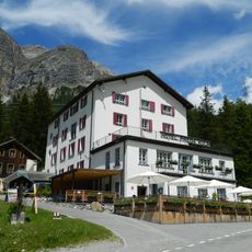
The easiest ascent starts at the Kesch-Hütte (2,625 m), crossing the Porchabella glacier to the Porta d'Es-cha (3,008 m), where the route from the Es-cha-Hütte (2,594 m) joins. The Es-cha-Hütte is about 3 hours on foot from Madulain, La Punt and Zuoz, and 1½ hours from the Albula Pass road; the Kesch-Hütte is 4½ hours from Bergün. In winter the summit climb calls for crampons and an ice axe.
The mountain marks a major water divide between two of Europe's largest drainage basins. Rain falling here flows either toward the North Sea or toward the Black Sea, depending on which slope it runs down.
The community of curious travelers
AroundUs brings together thousands of curated places, local tips, and hidden gems, enriched daily by 94,362 contributors worldwide.