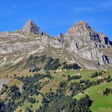
Rophaien, Mountain summit in Uri, Switzerland
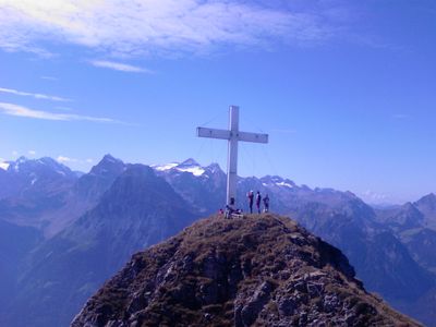
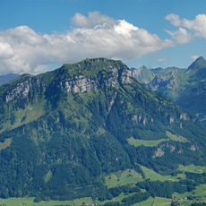
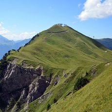
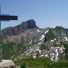
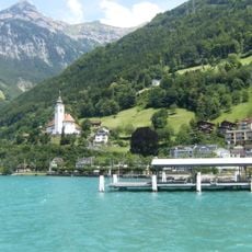
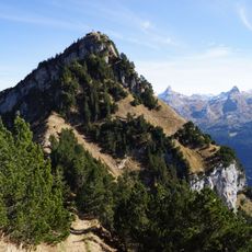
Rophaien is a mountain peak in the canton of Uri, rising above Lake Uri between Flüelen and Sisikon. Its summit is marked by a cross and can be reached by several hiking paths that start from the valleys on either side.
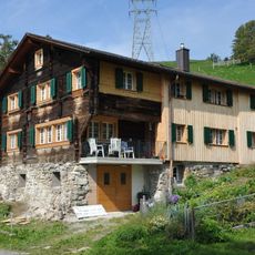
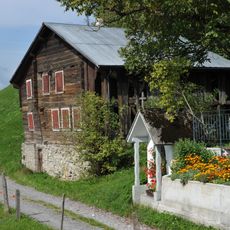
Rophaien has served as a point of reference for valley communities in Uri since the early days of the Swiss Confederation, when Uri was one of the three founding cantons. Its clear outline above the lake made it a natural landmark in local geography across generations.
The summit cross on Rophaien is a meeting point for people from the surrounding villages who treat the climb as part of their alpine way of life. It is one of those places where the close relationship between valley communities and their mountain landscape is easy to see.
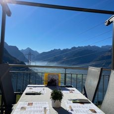
Hiking trails lead to the summit from both Flüelen and Sisikon, with the climb taking several hours depending on which route you choose. The summit is exposed to changing weather, so solid footwear and appropriate clothing are worth bringing along.
At certain times in winter, the peak casts a triangular shadow across the surface of Lake Uri that is visible from a distance. This effect only appears when the sun is low in the sky, and it draws photographers who time their visits around it.
The community of curious travelers
AroundUs brings together thousands of curated places, local tips, and hidden gems, enriched daily by 60,000 contributors worldwide.