Canton of Uri, Canton in Central Switzerland, Switzerland.
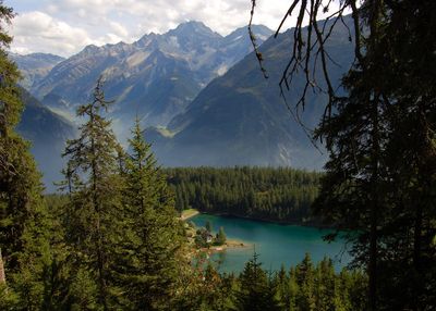
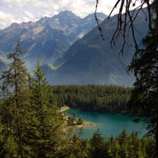
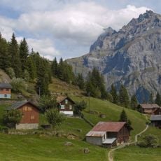
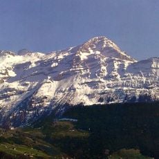
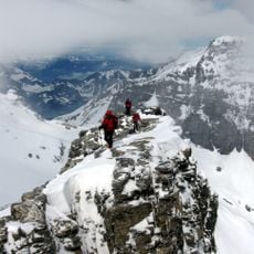
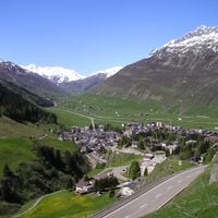
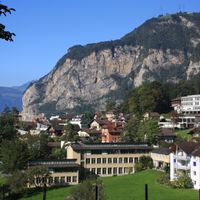
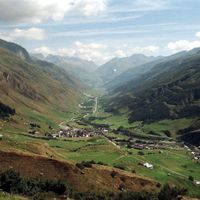
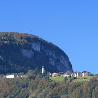
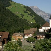
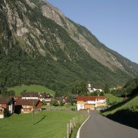
This canton in central Switzerland stretches from the shores of Lake Lucerne to the Gotthard massif, covering around 1,077 square kilometers (416 square miles). The terrain rises from the Reuss valley to high Alpine zones, with forested slopes, steep rock faces, and several glaciers at upper elevations.
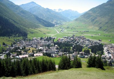
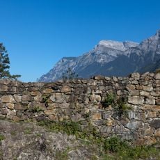
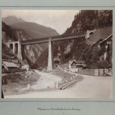
In 1291, this territory joined Schwyz and Unterwalden in an alliance that later became the core of the Swiss Confederation. Over time, the route over the Gotthard Pass grew into a major trade link between northern and southern Europe.
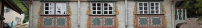
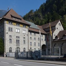
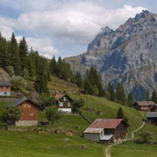
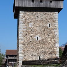
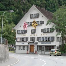
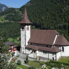
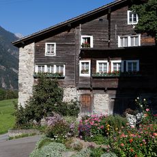
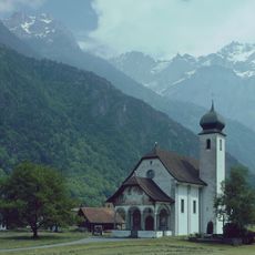
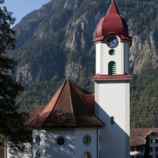
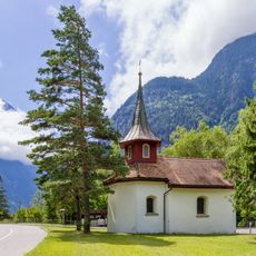
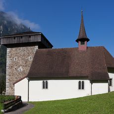
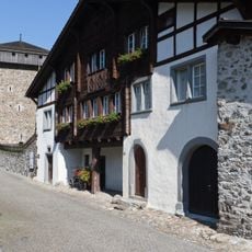
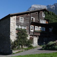
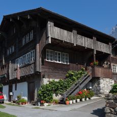
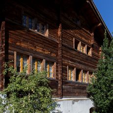
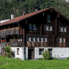
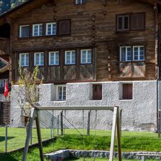
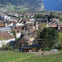
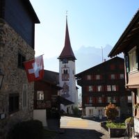
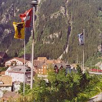
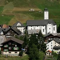
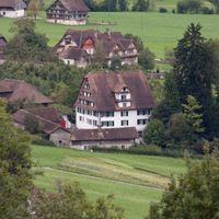
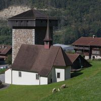
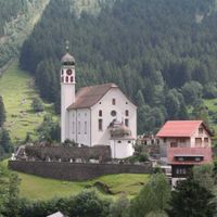
Village names reflect centuries of settlement, and many communities preserve wooden buildings and stone churches from earlier periods. Locals speak Urner German, a dialect that sounds noticeably different from the speech heard in neighboring regions.
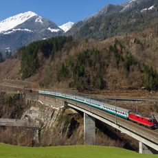
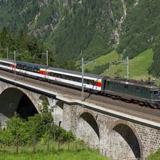
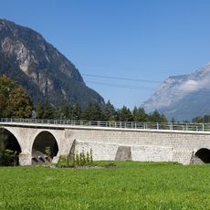
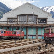
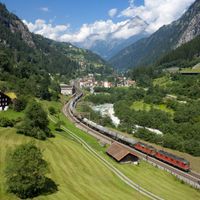
The Gotthard railway line connects this region with northern and southern parts of Switzerland, while mountain passes offer road access to neighboring cantons. In winter, some high-altitude routes may close, so checking conditions before heading to upper valleys is a good idea.
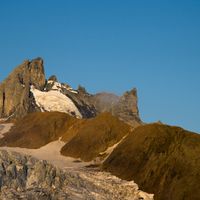
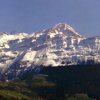
More than half the area consists of rock, ice, and scree unsuitable for human use. Glaciers cover roughly one fifth of the entire territory, giving the landscape its high Alpine character.
Location: Switzerland
Inception: 1291
Capital city: Altdorf
Elevation above the sea: 447 m
Part of: Central Switzerland, Waldstätte
Shares border with: Canton of the Grisons, Canton of Ticino, Canton of Valais, Bern, Canton of Obwalden, Canton of Nidwalden, Canton of Glarus, Canton of Schwyz
Website: https://ur.ch
GPS coordinates: 46.78333,8.61667
Latest update: December 4, 2025 23:42
Arnisee
2.4 km
SBB power station
4.5 km
Zwing Uri
4.2 km
Gross Windgällen
9.2 km
Chärstelenbachbrücke
4.6 km
Bälmeten
7.2 km
Krönten
3.6 km
Chli Windgällen
7.7 km
Intschireussbrücke
4 km
Meierturm
4.3 km
Hotel Stern und Post
4.4 km
Diga di Pfaffensprung
7.6 km
Parish Church of Mary the Good Counsel
5.9 km
Mittlere Meienreussbrücke
8.5 km
Stone house northeast of the church
4.4 km
Jagdmatt pilgrimage chapel
4.5 km
St. Albin Catholic Church with Ossuary
4.4 km
Ellbogenkapelle of St. Ursula on the Stetten
4.1 km
Chapel 14-Nothelfer in Dörfli
4.3 km
Reuss bridge near Amsteg (Platti bridge)
4.4 km
Former Sust with Inn
4.3 km
Farmhouse
4.4 km
Locomotive shed
4.7 km
Residential building Burghofstatt
4.2 km
House unterer Spätach with drying room
4.4 km
Residential building in Püntenermätteli
4.7 km
Modern iron melting furnace Obermatt
7.6 km
House
4.5 kmVisited this place? Tap the stars to rate it and share your experience / photos with the community! Try now! You can cancel it anytime.
Discover hidden gems everywhere you go!
From secret cafés to breathtaking viewpoints, skip the crowded tourist spots and find places that match your style. Our app makes it easy with voice search, smart filtering, route optimization, and insider tips from travelers worldwide. Download now for the complete mobile experience.
A unique approach to discovering new places❞
— Le Figaro
All the places worth exploring❞
— France Info
A tailor-made excursion in just a few clicks❞
— 20 Minutes