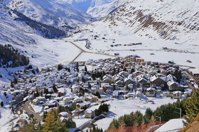
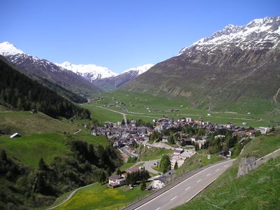
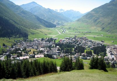
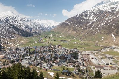
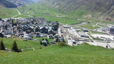
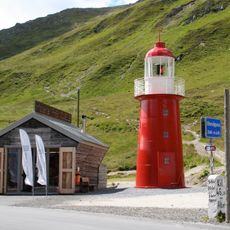
Andermatt, Alpine municipality in Uri, Switzerland
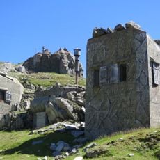
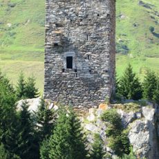
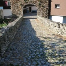
Andermatt is an Alpine municipality located at approximately 1,447 meters (4,747 ft), extending across multiple levels with traditional stone architecture adapted to steep terrain. The settlement preserves its original layout with narrow streets and buildings that follow the natural contours of the mountainside.
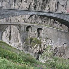
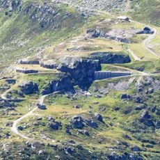
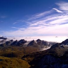
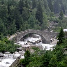
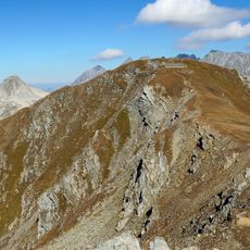
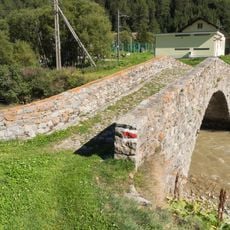
The settlement developed at a crucial intersection of major Alpine passes, where trade routes and travelers converged for centuries. This strategic location shaped the village's growth and remains central to its character today.
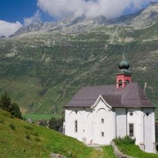
The Andermatt Konzerthalle demonstrates the municipality's commitment to music and arts, hosting classical concerts and cultural events year-round. The venue draws performers and music lovers who gather in this Alpine setting.
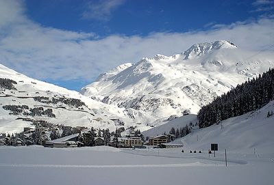
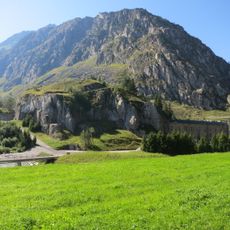
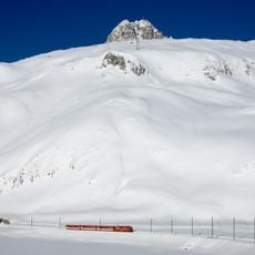
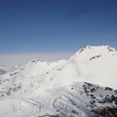
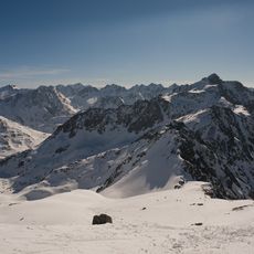
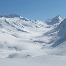
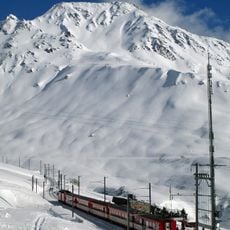
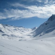
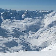
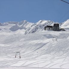
Eight surrounding Alpine passes provide access to numerous hiking trails and ski slopes available year-round. Multiple access routes make the location reachable in any season, though winter travel requires more planning.
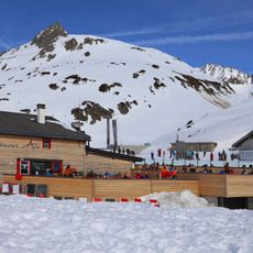
The location features a golf course at high altitude where players can practice the sport surrounded by snow-covered peaks. This golf experience combines sport with a mountain setting that few other places offer.
The community of curious travelers
AroundUs brings together thousands of curated places, local tips, and hidden gems, enriched daily by 60,000 contributors worldwide.