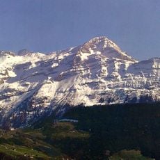
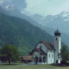
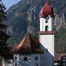
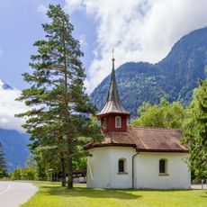
Gross Windgällen, Mountain summit in Uri, Switzerland.
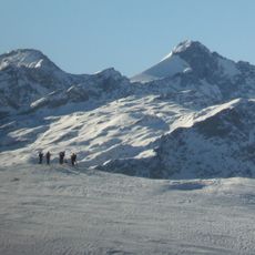
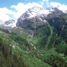
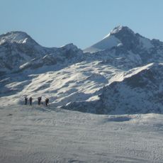
Gross Windgällen reaches 3,187 meters in the Glarus Alps and displays steep rock walls along with multiple glaciers, including the Stäfelfirn on its southern slopes. The southern face is dominated by glacial ice, while the northwest side remains rocky and ice-free.
Mountain guide Josef Maria Tresch-Exer completed the first ascent in 1848 and returned ten days later with Georg Hoffmann for a second successful climb. These early ascents mark the beginning of the peak's documented climbing history.
The name Gross Windgällen comes from the dialect word Gälle, gellen, meaning wailing, shrilling or whistling — a reference to the wind-exposed position of the peak between the Schächental and the Maderanertal. The same root names the smaller Chli Windgällen (2,986 m) two kilometres to the south-west.
The normal route starts from the Windgällenhütte (AACZ) at 2,032 m, reached from Golzern at 1,400 m on the southern flank. The path crosses the Stäfelfirn to the east wall, climbs it at up to grade III, then follows the north ridge to the summit. The whole high tour is rated fairly difficult, so rope, crampons and an early start are needed.
At the foot of the Gross Windgällen's north wall, which rises up to 900 metres, lies the Seewlisee at 2,028 metres. With nine hectares of surface and a depth of up to 20 metres, it is the largest natural mountain lake in the canton of Uri.
The community of curious travelers
AroundUs brings together thousands of curated places, local tips, and hidden gems, enriched daily by 94,220 contributors worldwide.