Gehrihorn, Alpine summit in Bern, Switzerland
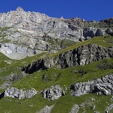
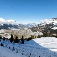
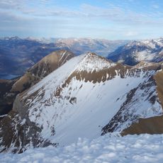
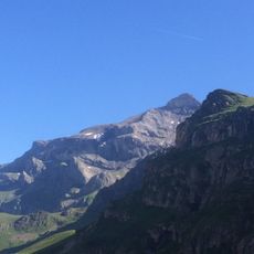
The Gehrihorn is a 2,130-metre mountain in the Bernese Prealps of the canton of Bern, known locally as the Gehrihore. It rises between the Kandertal to the west and the Kiental to the east, and the boundary between the municipalities of Frutigen and Reichenbach im Kandertal runs over its summit. The English sources place it at the northern end of the range above Frutigen in the Bernese Oberland.
The mountain was developed during the 20th century when the Swiss Alpine Club established a network of marked routes across its slopes. This infrastructure made the peak accessible to hikers beyond experienced mountaineers.
The mountain serves as a gathering place where hikers from the surrounding region practice their skills and discover the alpine landscape. Many visitors return repeatedly and share their experiences with others, creating a community of regular climbers.
The mountain offers routes of varying difficulty, so both beginners and experienced hikers can find paths suited to their level. Starting early in the day and watching the weather is important, as conditions can change quickly at this elevation.
The Gehrihorn lies on the boundary between the municipalities of Frutigen and Reichenbach im Kandertal, so the cantonal border runs over its summit. Locals call the mountain "Gehrihore" in their dialect.
The community of curious travelers
AroundUs brings together thousands of curated places, local tips, and hidden gems, enriched daily by 94,623 contributors worldwide.