
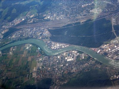
Rangierbahnhof Basel-Muttenz, gare de triage en Suisse
Location: Muttenz
Elevation above the sea: 281 m
GPS coordinates: 47.53366,7.64807
Latest update: March 13, 2025 12:15
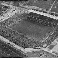
St. Jakob Stadium
2.3 km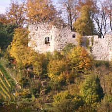
Wartenberg
1.7 km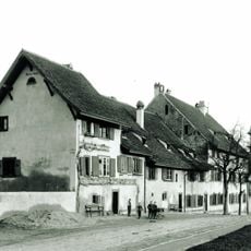
Hospital St. Jakob at Birs
2.5 km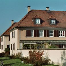
Freidorf cooperative housing estate
1.5 km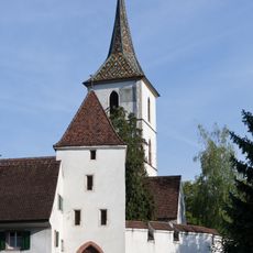
Fortified Church of St. Arbogast
1.3 km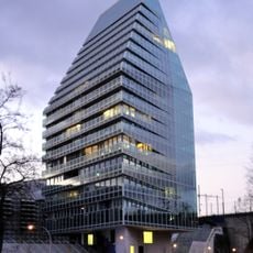
St. Jakob-Turm
2.2 km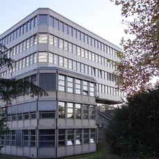
High school
2.5 km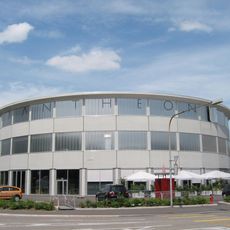
Pantheon Basel
1.2 km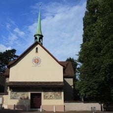
St.-Jakobs-Kirche
2.5 km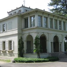
Villa Ehinger
2.5 km
Schloss Grenzach
2.5 km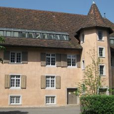
Hammerschmiede Neue Welt
2.3 km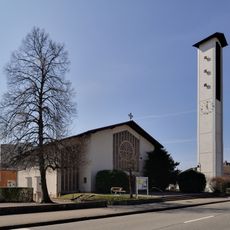
Saint Michael (Grenzach)
2.2 km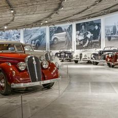
Museum Pantheon Basel - Forum for vintage cars
1.2 km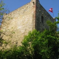
Ruin of the Mittlerer Wartenberg
1.7 km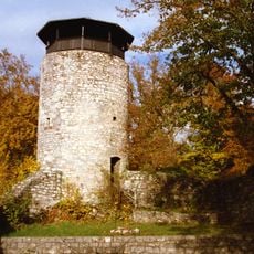
Ruin of the Hinterer Wartenberg
1.8 km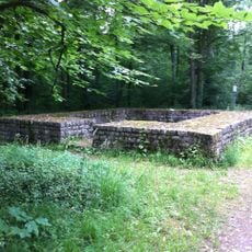
Au-Hard (part of the late Roman Rhine fortifications)
1 km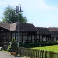
Villa urbana
2.5 km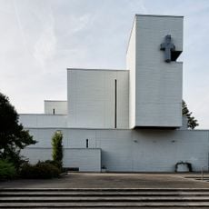
Roman Catholic Parish Center Johannes Maria Vianney
796 m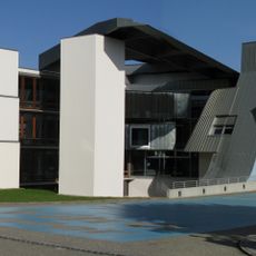
Hauptsitz Möbelfirma Vitra - Vitra-Center
1.8 km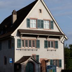
Evangelical Reformed Rectory
1.2 km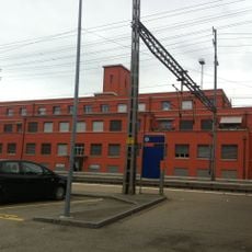
Classification yard, main service building
70 m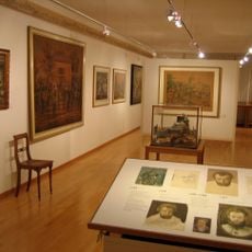
Karl Jauslin Collection
1 km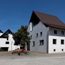
Mittenza community center
1.2 km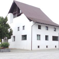
Gemeindearchiv Muttenz
1.2 km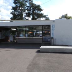
Garden pool St. Jacob
2.2 km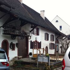
Farmhouse Museum
1.4 km
Ruin of the Vorderer Wartenberg
1.6 kmReviews
Visited this place? Tap the stars to rate it and share your experience / photos with the community! Try now! You can cancel it anytime.
Discover hidden gems everywhere you go!
From secret cafés to breathtaking viewpoints, skip the crowded tourist spots and find places that match your style. Our app makes it easy with voice search, smart filtering, route optimization, and insider tips from travelers worldwide. Download now for the complete mobile experience.

A unique approach to discovering new places❞
— Le Figaro
All the places worth exploring❞
— France Info
A tailor-made excursion in just a few clicks❞
— 20 Minutes