
Chnubel, mountain in Switzerland
Location: Bern-Mittelland administrative district
Elevation above the sea: 1,159 m
GPS coordinates: 46.85978,7.67011
Latest update: June 5, 2025 22:47
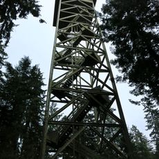
Chuderhüsi Tower
3.8 km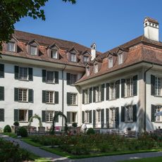
Hünigen Castle
3.9 km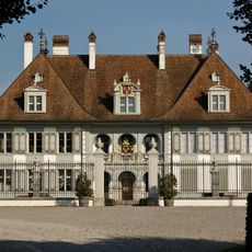
New château
4.1 km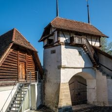
Gate tower
4.1 km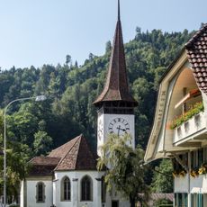
Reformed Church (1498/99)
4.5 km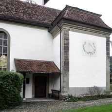
Von Wattenwyl family chapel
4.4 km
Gerbestock
4.3 km
Gasthof Löwen with Dependance
4.5 km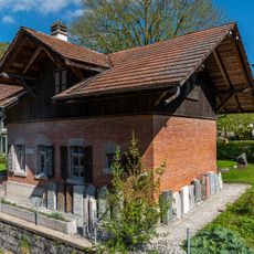
Former washhouse
4.4 km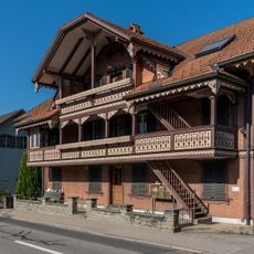
Residential house (around 1900)
4.4 km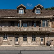
Residential house (around 1896)
4.4 km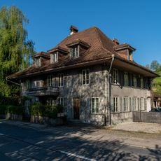
Wohnstock
4.6 km
Geissbühler House
4.3 km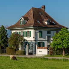
Villa
4.5 km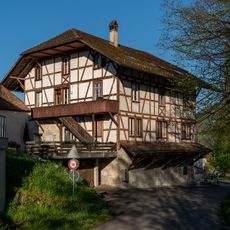
Mittlere Mühle
4 km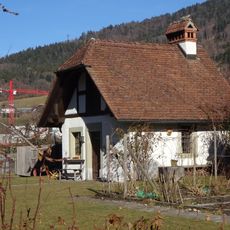
Former Pfrund-Ofenhaus
4.4 km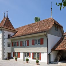
Old château
4.1 km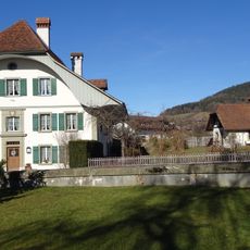
Rectory
4.4 km
Former Secondary School House
4.6 km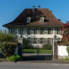
Diessenhof manor with outbuildings
4.6 km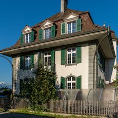
Town hall (1921/22)
4.6 km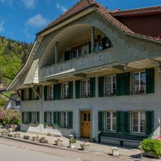
Former farm and grocer's house
4.4 km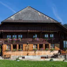
Former farmhouse (around 1700)
4.8 km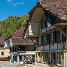
Residential building (18th/19th c.)
4.4 km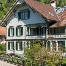
Residential building with barn
4.4 km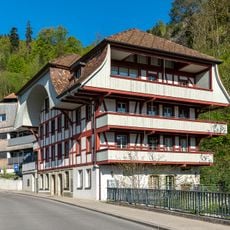
Sattlerstock
4.6 km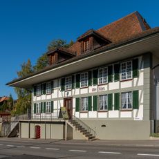
Former Bären Inn and present village museum
4.5 km
Residential house (1834)
4.4 kmReviews
Visited this place? Tap the stars to rate it and share your experience / photos with the community! Try now! You can cancel it anytime.
Discover hidden gems everywhere you go!
From secret cafés to breathtaking viewpoints, skip the crowded tourist spots and find places that match your style. Our app makes it easy with voice search, smart filtering, route optimization, and insider tips from travelers worldwide. Download now for the complete mobile experience.

A unique approach to discovering new places❞
— Le Figaro
All the places worth exploring❞
— France Info
A tailor-made excursion in just a few clicks❞
— 20 Minutes