
Baumgartenflue, mountain in Entlebuch District, Switzerland
Location: Entlebuch District
Elevation above the sea: 1,922 m
GPS coordinates: 46.90264,8.05080
Latest update: May 19, 2025 22:46
Sperrstelle Schrattenfluh
3.6 km
Siebenhengste-Hohgant-Höhle
11.5 km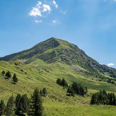
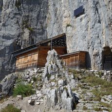
Fürstein
1.6 km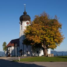
Holy Cross Church
5.2 km
Schimbrig
6.3 km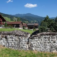
Medieval castle ruins Rosenberg
11.2 km
Stäfeliflue
11.1 km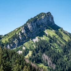
Schafmatt LU
1.4 km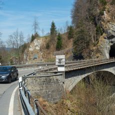
Lamb Gorge Bridge
3.7 km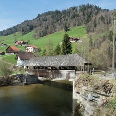
Graben bridge
9 km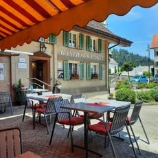
Hasle
8.6 km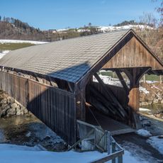
Farbschachenbrücke
9.3 km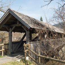
Eysteg
5.1 km
Zwischenwassernbrücke
10.1 km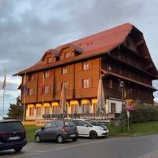
Heiligkreuz
5.2 km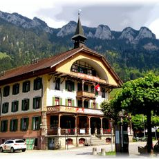
Flühli
3.4 km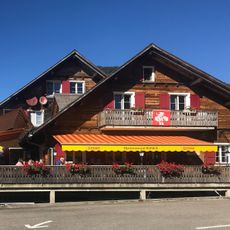
Stäldli
3.3 km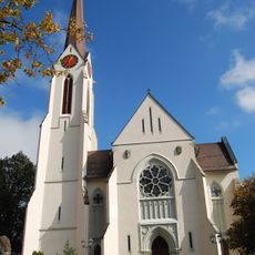
St. Jacob Catholic Church
8.9 km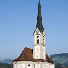
St. John and Paul Church
6.1 km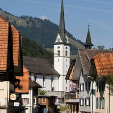
St. Joseph Catholic Church
3.4 km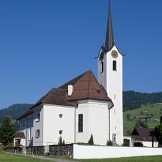
Catholic parish church St. Anthony the Hermit
10.8 km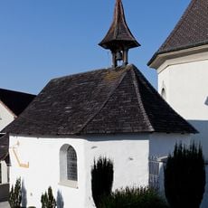
Ossuary chapel near the catholic church
8.6 km
St. Martin Catholic Church
10 km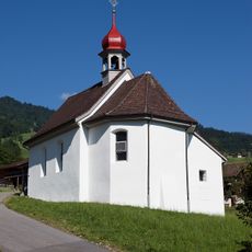
Chapel of St. Anthony of Padua
11.2 km
Bohrplattform Finsterwald
9.3 km
Museum Entlebucherhaus
6.4 km
Usser Allmend
11.6 km
Wohnhaus Feld, Grossteil
10.5 kmReviews
Visited this place? Tap the stars to rate it and share your experience / photos with the community! Try now! You can cancel it anytime.
Discover hidden gems everywhere you go!
From secret cafés to breathtaking viewpoints, skip the crowded tourist spots and find places that match your style. Our app makes it easy with voice search, smart filtering, route optimization, and insider tips from travelers worldwide. Download now for the complete mobile experience.

A unique approach to discovering new places❞
— Le Figaro
All the places worth exploring❞
— France Info
A tailor-made excursion in just a few clicks❞
— 20 Minutes