
Hüser, mountain in Switzerland
Location: Obwalden
Elevation above the sea: 1,896 m
GPS coordinates: 46.87306,8.31081
Latest update: June 6, 2025 08:00
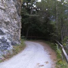
Polenweg
3.9 km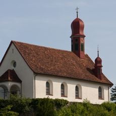
St. Karl Borromäus Chapel
3.2 km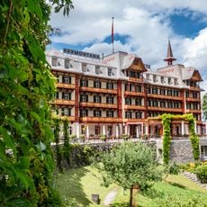
Hotel Paxmontana
3.1 km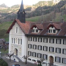
Benedictine convent with St. Leonhard hospital and ossuary
4.7 km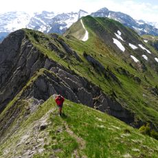
Schluchberg
1.9 km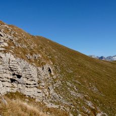
Widderfeld Stock
4.7 km
Rugisbalm
4.6 km
Gräfimattstand
1.5 km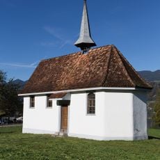
St. Catherine Chapel
4.9 km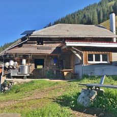
Alp Lachen
2.7 km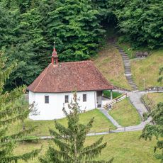
Obere Ranftkapelle
3 km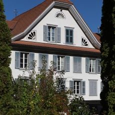
Cottage Obkirchen
5.3 km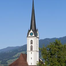
Pfarrkirche St. Gallus (1761, Chor und Turm wieder aufgebaut 1816) mit Beinhaus (1768)
4.2 km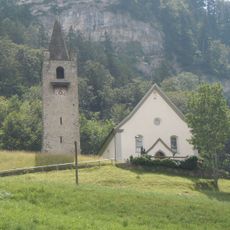
St. Nikolaus Chapel
2.5 km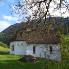
Möslikapelle Kerns
2.9 km
Melchtal
4.5 km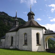
Kapelle Heiligkreuz
4.8 km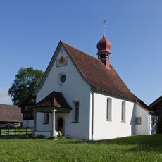
Kapelle St. Katharina in Wisserlen (Barockbau 1642)
4.3 km
Lower Ranft Chapel
3 km
St. Antonikapelle, Halten (1640)
3.1 km
Farmhouse im Huwel
4.4 km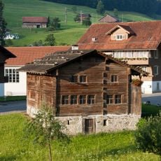
Birth house of Nicholas of Flue
3.3 km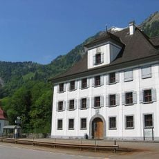
Manor house in Grafenort with garden pavilion
4.7 km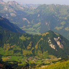
Gräfimattnollen
1.5 km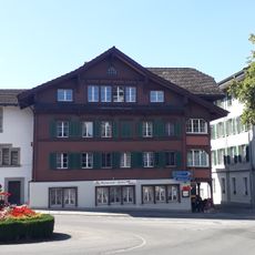
Steinhaus (ca. 1530)
4.1 km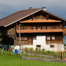
Grosshaus residential building
3.1 km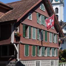
Gasthaus Rose
4.1 km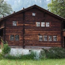
House of Nicholas of Flue
3.1 kmReviews
Visited this place? Tap the stars to rate it and share your experience / photos with the community! Try now! You can cancel it anytime.
Discover hidden gems everywhere you go!
From secret cafés to breathtaking viewpoints, skip the crowded tourist spots and find places that match your style. Our app makes it easy with voice search, smart filtering, route optimization, and insider tips from travelers worldwide. Download now for the complete mobile experience.

A unique approach to discovering new places❞
— Le Figaro
All the places worth exploring❞
— France Info
A tailor-made excursion in just a few clicks❞
— 20 Minutes