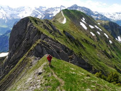
Schluchberg, Mountain summit in Nidwalden and Obwalden, Switzerland.
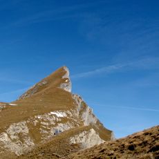
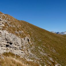
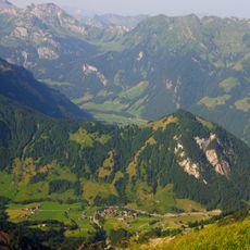
Schluchberg is a mountain summit in central Switzerland standing at 2,106 meters, positioned where the cantons of Nidwalden and Obwalden meet. The terrain features rocky slopes with alpine vegetation typical of the foothills, offering views across the surrounding peaks.
The mountain has marked the border between the two cantons for centuries, serving as a natural landmark for local populations navigating the region. This geographical importance established it as a reference point in the regional history of central Switzerland.
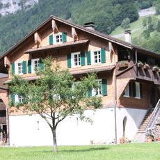
The mountain serves as a gathering point for outdoor enthusiasts from both cantons, connecting neighboring communities through shared mountain activities. Locals regularly pass through this area as part of their hiking traditions in the Alpine foothills.
The route to the summit requires mountain experience and technical gear due to steep rocky terrain. Visitors should plan for good weather conditions, bring appropriate clothing for altitude changes, and carry sufficient water for the demanding climb.
The peak sits within a distinctive ridge system and displays the characteristic landforms typical of the Prealps foothills. Its location within this mountain chain makes it a revealing example of how the terrain shapes the boundary between the two cantons.
The community of curious travelers
AroundUs brings together thousands of curated places, local tips, and hidden gems, enriched daily by 60,000 contributors worldwide.