
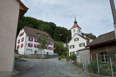
Town hall, building in Himmelried in the canton of Solothurn, Switzerland
Location: Himmelried
Inception: 1851
Operator: Gemeinde Himmelried
Part of: list of cultural properties in Himmelried
Address: Hauptgasse 52, 4204 Himmelried 4204
Phone: +41617411778
Email: info@himmelried.ch
Website: https://himmelried.ch
GPS coordinates: 47.42236,7.59816
Latest update: March 11, 2025 12:08
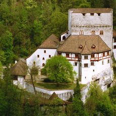
Angenstein Castle
4.6 km
Pfeffingen Castle
3.5 km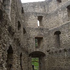
Gilgenberg castle ruin
4.4 km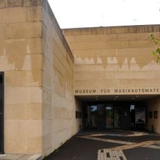
Museum of music automatons
5.2 km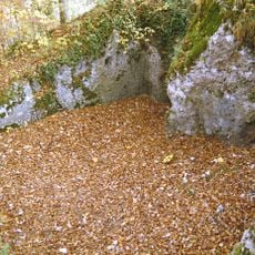
Burg Bärenfels
4.7 km
Blarer Castle
4.8 km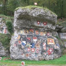
Chessiloch
2.7 km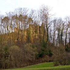
Ruine Schalberg
5.2 km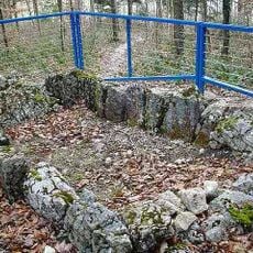
Gmeiniwald, Neolithic dolmen grave
5.4 km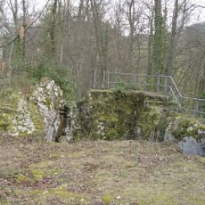
Ruins Engenstein
5.1 km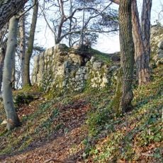
Ruins Münchsberg
4.8 km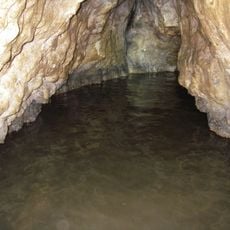
Bättlerloch
3.7 km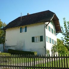
Rectory Oberkirch
3.3 km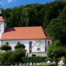
St. Francis Xavier parish church (1807-09)
26 m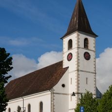
Roman catholic parish church of St. Joseph
4.9 km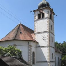
St. Gallus church
5 km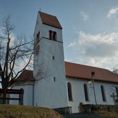
Maria im Hag catholic church
4.1 km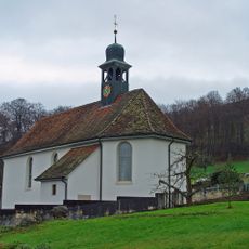
Roman Catholic Church of St. Oswald
3.9 km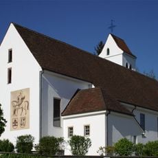
Roman Catholic Church with Ossuary
4.2 km
Evangelical reformed church with rectory and outbuildings
5 km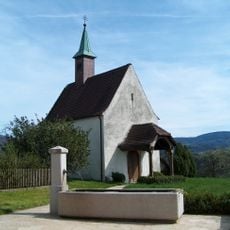
St. Wendelins Chapel
5 km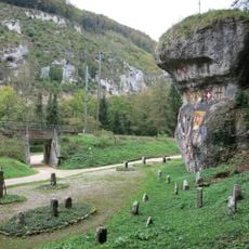
Wachtfelsen, spätpaläolithische-mesolithische Abristation
2.8 km
Alte Laterne farmhouse
4.5 km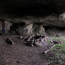
Kastel cave (Paleolithic living cave)
2.3 km
Elementary school building
2.3 km
Former provost house Rohr
4.1 km
Evangelical Reformed Rectory
5 km
Golf Club Laufental
4.6 kmVisited this place? Tap the stars to rate it and share your experience / photos with the community! Try now! You can cancel it anytime.
Discover hidden gems everywhere you go!
From secret cafés to breathtaking viewpoints, skip the crowded tourist spots and find places that match your style. Our app makes it easy with voice search, smart filtering, route optimization, and insider tips from travelers worldwide. Download now for the complete mobile experience.

A unique approach to discovering new places❞
— Le Figaro
All the places worth exploring❞
— France Info
A tailor-made excursion in just a few clicks❞
— 20 Minutes