
Piton de Hoy, Berggipfel in Kamerun
Location: North
Elevation above the sea: 602 m
GPS coordinates: 8.47500,13.33944
Latest update: June 16, 2025 12:41
Mambilla Plateau
219.2 km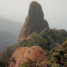
Chappal Waddi
240.4 km
Gashaka Gumti National Park
236.5 km
Lamidat de Rey-Bouba
94.5 km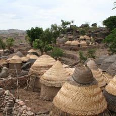
Sukur
253.5 km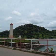
Lagdo Reservoir
70.9 km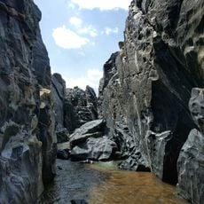
Gorges de Kola
167.7 km
Mont Ngaoui
262.3 km
Lamidat de Banyo
254.9 km
Yankari National Park
325.5 km
Bidzar
175.3 km
Pantami Stadium
311.6 km
Lamido Grand Mosque
131.3 km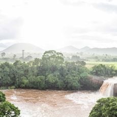
Chute de la Vina
143.5 km
Mbéré Valley National Park
230.2 km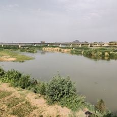
Bridge over Benoué
91.7 km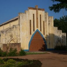
Sacred Heart Cathedral, Moundou
303.3 km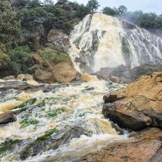
Chutes de Lancrenon
255.9 km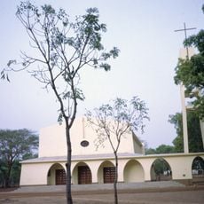
Cathedral of Sts. Peter and Paul, Pala
198.1 km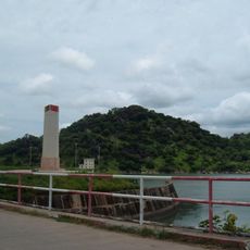
Barrage de Lagdo
75.7 km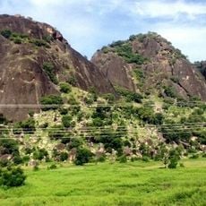
Three Sisters Rocks
170 km
National Library of Nigeria, Gombe State
316.5 km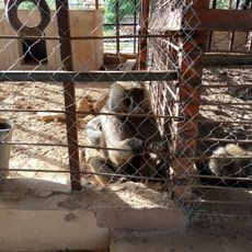
GSU zoological park
312.8 km
Emir's Palace Gombe
312.7 km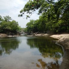
Gashaka-Gumti National Park
216.1 km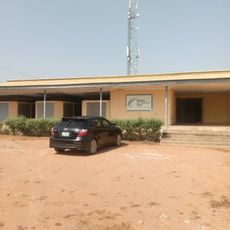
Yola Town Post Office, Yola South, Adamawa State
124 km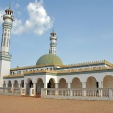
Lamidat de Ngaoundéré
131.4 km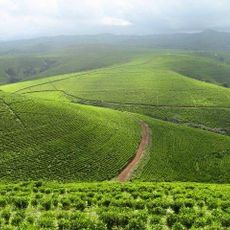
Kakara tea farm
304.3 kmReviews
Visited this place? Tap the stars to rate it and share your experience / photos with the community! Try now! You can cancel it anytime.
Discover hidden gems everywhere you go!
From secret cafés to breathtaking viewpoints, skip the crowded tourist spots and find places that match your style. Our app makes it easy with voice search, smart filtering, route optimization, and insider tips from travelers worldwide. Download now for the complete mobile experience.

A unique approach to discovering new places❞
— Le Figaro
All the places worth exploring❞
— France Info
A tailor-made excursion in just a few clicks❞
— 20 Minutes