Enable Location

We need your location to show you interesting places around you

Discover nearby places

Find interesting locations and hidden gems around you

Precise directions

Get accurate directions and distances to places

Your location is never shared with other users. It's only used when you tap the location button.

Chappal Waddi

Log in to your account

Start exploring — it's free

Trusted by 61,574 travelers worldwide

Continue with Google
Continue with Apple
or

We will send you a code to connect

By continuing, you accept our Terms and Conditions and our Privacy Policy

Check your inbox

We've sent a pincode in your inbox. Please enter the code below.

Chappal Waddi

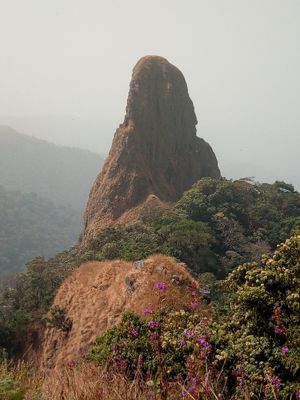
Chappal Waddi, Mountain peak in Gashaka Gumti National Park, Nigeria and Cameroon.

Description

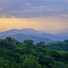
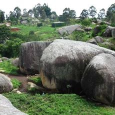
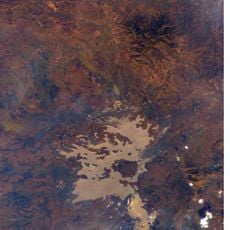
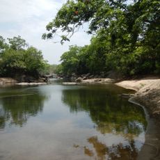
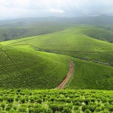
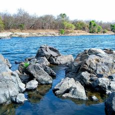
Chappal Waddi is a mountain summit spanning across Gashaka Gumti National Park between Nigeria and Cameroon, representing the highest point in the country. The surrounding landscape features dense forests interspersed with grasslands and varies greatly from gentle slopes to steep rocky sections.

History

Local communities have long known this peak, but it received formal recognition through the placement of a wooden marker at the summit in 2020. This development established an official reference point for what had been a destination known primarily through generations of local knowledge.

Culture

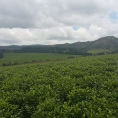
The mountain carries a local name among the Mambilla communities, who observe natural signs occurring on its slopes and summit to guide their daily activities. Weather patterns and seasonal changes visible from different elevations shape how people time their work throughout the year.

Practical

Visitors need local guides to navigate safely through the uneven terrain and forest paths within the national park. The journey demands physical preparation, as routes are challenging and conditions vary significantly depending on the season and recent weather.

Did you know?

The summit sits exactly on the border between the two countries and belongs to the Bamenda-Alantika-Mandara mountain range that extends across multiple nations. This placement makes it a natural meeting point where one can stand in both territories simultaneously.

Location
Elevation above the sea
2,419 m
GPS coordinates
7.03574,11.71473
Latest update
December 7, 2025 19:31

AroundUs brings together thousands of curated places, local tips, and hidden gems, enriched daily by 60,000 contributors worldwide. Discover all places nearby (Gashaka).

« Chappal Waddi - Mountain peak in Gashaka Gumti National Park, Nigeria and Cameroon » is provided by Around Us (aroundus.com). Images and texts are derived from Wikimedia project under a Creative Commons license. You are allowed to copy, distribute, and modify copies of this page, under the conditions set by the license, as long as this note is clearly visible.

Discover hidden gems everywhere you go!

From secret cafés to breathtaking viewpoints, skip the crowded tourist spots and find places that match your style. Our app makes it easy with voice search, smart filtering, route optimization, and insider tips from travelers worldwide. Download now for the complete mobile experience.

Around Us App Screenshot

A unique approach to discovering new places

Le Figaro

All the places worth exploring

France Info

A tailor-made excursion in just a few clicks

20 Minutes

Around Us
Travel Guide & Maps
Download

Send to your phone

QR Code
1

Open the camera app on your mobile.

2

Point at the QR code with your camera. A notification will appear.

3

Tap the notification to open the link.