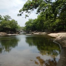
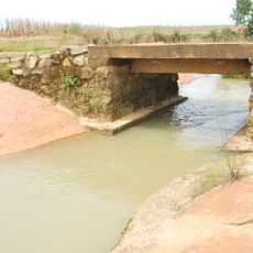
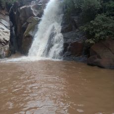
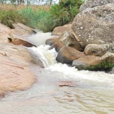
Donga River, River system in Taraba State, Nigeria and Northeast Region, Cameroon
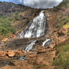
The Donga River rises on the Mambilla Plateau in eastern Nigeria and flows northwest, forming part of the international border between Nigeria and Cameroon before merging with the Benue River in Nigeria. Its watershed covers 20,000 square kilometres, and near the Benue it delivers up to 1,800 cubic metres of water per second at peak flow.
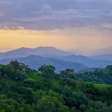
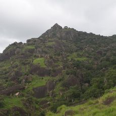
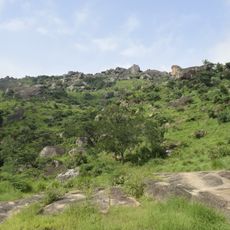
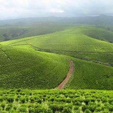
The Donga rises on the Mambilla Plateau in eastern Nigeria and flows northwest, forming part of the Nigeria–Cameroon border before joining the Benue River. Its watershed covers 20,000 square kilometres. Three forest reserves, Baissa, Amboi and Bissaula River, lie on the slopes and foot of the Mambilla Plateau, southwest of Gashaka Gumti National Park.
The river rises on the Mambilla Plateau and forms part of the Nigeria–Cameroon border before joining the Benue. In Taraba State its basin holds three forest reserves: Baissa, Amboi and Bissaula River, on the slopes and foot of the plateau, south-west of Gashaka Gumti National Park.
The river rises on the Mambilla Plateau and runs northwest to the Benue, reaching about 1,800 cubic metres per second at its peak near that confluence. The basin covers 20,000 square kilometres, and the Baissa, Amboi and Bissaula River forest reserves lie on the slopes and foot of the plateau, southwest of Gashaka Gumti National Park.
At its peak near the Benue confluence, the Donga delivers about 1,800 cubic metres of water per second. Its watershed covers 20,000 square kilometres. Three forest reserves, Baissa, Amboi and Bissaula River, lie on the slopes and foot of the Mambilla Plateau, southwest of Gashaka Gumti National Park.
The community of curious travelers
AroundUs brings together thousands of curated places, local tips, and hidden gems, enriched daily by 92,766 contributors worldwide.