Cameroon

Log in to your account

AroundUs is a community-driven map of interesting places, built by curious explorers like you. It grows with every review, story, and photo you share.
Connect to save your favorite spots, contribute locations, and create personalized routes.
Continue with Google
Continue with Apple
Continue with X
Continue with Facebook
Continue with email
By continuing, you accept our Terms and Conditions and our Privacy Policy
Create an account
Add to collection
Map
Suggest a change
Share

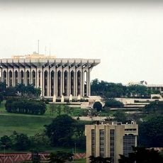
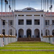
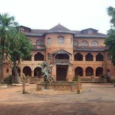
Cameroon, Republic in Central Africa

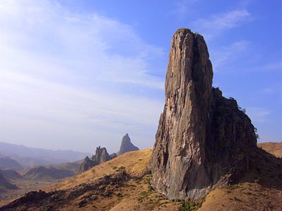
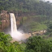
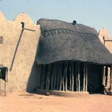
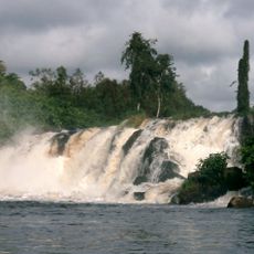
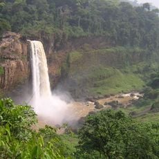
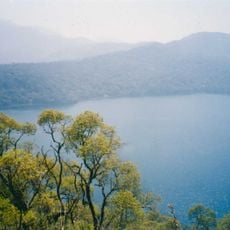
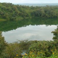
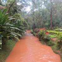
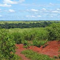
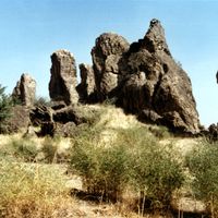
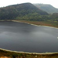
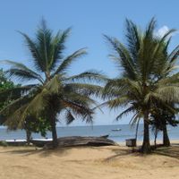
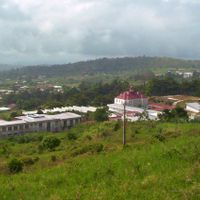
This territory runs from coastal plains along the Atlantic to mountainous terrain and highland plateaus farther inland. Tropical rainforests blanket the southern sections, while central areas shift into savanna grasslands and the north shows semi-arid conditions.

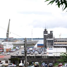
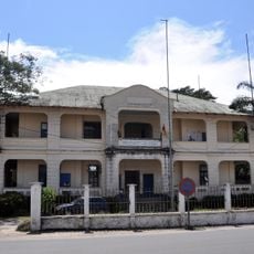
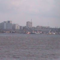
Portuguese navigators arrived at the coast during the fifteenth century and named the region after shrimp in the Wouri River. German colonial rule began in the late nineteenth century before French and British mandates split the territory following the First World War, with independence coming in 1960 and 1961.

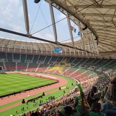
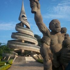
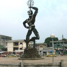
More than two hundred ethnic groups maintain their own languages and oral traditions throughout different regions. French and English shape everyday administration and education, while each community carries on its own ceremonies and artistic practices.

Nsimalen International Airport near Yaoundé and Douala International Airport on the coast connect travelers to major African cities and European destinations. The dry season from November through February offers more comfortable conditions with less rainfall, and visitors need to arrange visas before arrival through diplomatic missions.

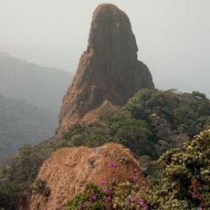
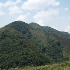
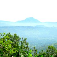
Mount Cameroon rises to 4040 meters (13,255 feet) and ranks as the highest peak in West Africa. This geologically active volcano last erupted in 2000, and climbers pass through multiple vegetation zones from rainforest to alpine scree during multiday ascents.

Inception: January 1, 1960

Capital city: Yaoundé

Part of: Central Africa

Shares border with: Central African Republic, Chad, Republic of the Congo, Equatorial Guinea, Gabon, Nigeria

Address: Cameroon

Website: https://prc.cm/fr

GPS coordinates: 4.61255,13.15358

Latest update: December 14, 2025 17:37

Photos
Historical sites and national parks of Cameroon

Cameroon offers a rich mix of places to explore, from wildlife parks to waterfalls and historic towns. The country stretches from tropical rainforests in the south to grasslands in the north, with coastal beaches and mountains in between. This makes it a destination where you can see many different...

Reviews

Visited this place? Tap the stars to rate it and share your experience / photos with the community! Try now! You can cancel it anytime.

« Cameroon - Republic in Central Africa » is provided by Around Us (aroundus.com). Images and texts are derived from Wikimedia project under a Creative Commons license. You are allowed to copy, distribute, and modify copies of this page, under the conditions set by the license, as long as this note is clearly visible.

Discover hidden gems everywhere you go!

From secret cafés to breathtaking viewpoints, skip the crowded tourist spots and find places that match your style. Our app makes it easy with voice search, smart filtering, route optimization, and insider tips from travelers worldwide. Download now for the complete mobile experience.

Around Us App Screenshot

A unique approach to discovering new places

Le Figaro

All the places worth exploring

France Info

A tailor-made excursion in just a few clicks

20 Minutes