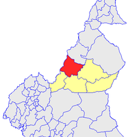
Adamawa, Administrative region in central Cameroon.
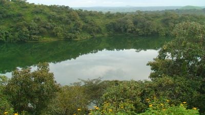
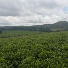
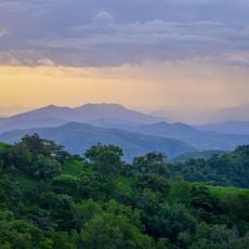
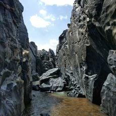
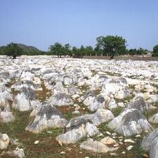
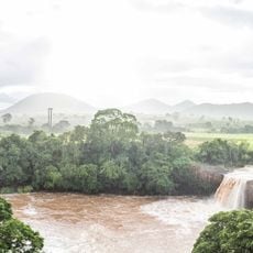
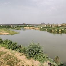
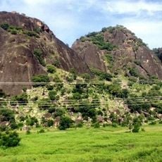
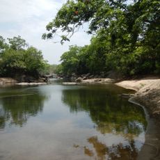
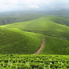
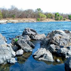
The Adamawa is an administrative region in central Cameroon that covers wide plateaus and forms a geographical bridge between the southern and northern parts of the country. The landscape shifts between rolling hills, grassland, and scattered river valleys that give the area its characteristic open feel.
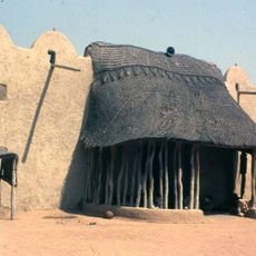
The Fulbe settled here from the 13th century onward and fundamentally changed the social structure of the area through their pastoral way of life. These migration movements led to new political orders and a reshaping of local societies over several centuries.
The region contains five administrative divisions where the Fulbe constitute sixty percent of the population, alongside Tikar and Gbaya ethnic communities.
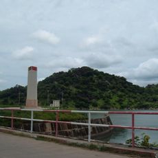
Ngaoundéré serves as the regional hub with rail and road links to other parts of the country, making travel and trade easier. The rainy season between April and October affects access to some rural areas, while the dry season offers better travel conditions.
Cattle herding shapes the daily scene, and across the wide grazing lands you see herds tended by the Fulbe people. This pastoral tradition has formed the economic backbone of the region for centuries and remains visible in everyday life.
Location: Cameroon
Inception: 1983
Capital city: Ngaoundéré
Elevation above the sea: 917 m
Shares border with: Far North, East, Centre, West, Northwest, North
GPS coordinates: 7.32139,13.58389
Latest update: December 4, 2025 11:39
Mambilla Plateau
205.5 km
Chappal Waddi
208.9 km
Gashaka Gumti National Park
227.9 km
Lamidat de Rey-Bouba
164.1 km
Bamun sultan palace
345.4 km
Lagdo Reservoir
176 km
Gorges de Kola
284.6 kmMont Ngaoui
164.7 kmLamidat de Banyo
205 km
Bidzar
287.7 km
Notre-Dame de Koutaba
359.4 km
Lamido Grand Mosque
180 m
Chute de la Vina
12.5 km
Mbéré Valley National Park
138.8 km
Bridge over Benoué
220.8 km
Sacred Heart Cathedral, Moundou
309.4 km
Chutes de Lancrenon
181.7 km
Cathedral of Sts. Peter and Paul, Pala
269.3 km
Barrage de Lagdo
193.9 km
Three Sisters Rocks
298.3 km
Bouar megaliths
243.6 km
Bouar Sub-Prefecture
254.5 km
Gashaka-Gumti National Park
218.6 km
Yola Town Post Office, Yola South, Adamawa State
241.7 km
Kakara tea farm
276.9 km
Lamidat de Ngaoundéré
563 m
Cathedral of Our Lady of the Immaculate Conception, Batouri
333.2 km
Faro Reserve
136.5 kmVisited this place? Tap the stars to rate it and share your experience / photos with the community! Try now! You can cancel it anytime.
Discover hidden gems everywhere you go!
From secret cafés to breathtaking viewpoints, skip the crowded tourist spots and find places that match your style. Our app makes it easy with voice search, smart filtering, route optimization, and insider tips from travelers worldwide. Download now for the complete mobile experience.
A unique approach to discovering new places❞
— Le Figaro
All the places worth exploring❞
— France Info
A tailor-made excursion in just a few clicks❞
— 20 Minutes