
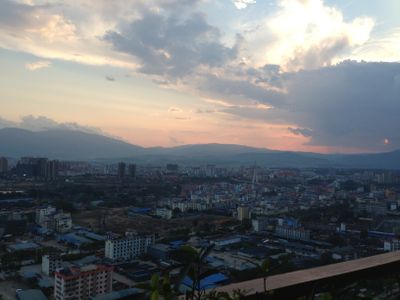
Jinghong, county-level city
Location: Xishuangbanna Dai Autonomous Prefecture
Elevation above the sea: 558 m
Website: https://jhs.gov.cn
GPS coordinates: 22.00571,100.79481
Latest update: March 4, 2025 05:05
Nam Ha National Protected Area
140.6 km
Xishuangbanna Tropical Botanical Garden
56.5 km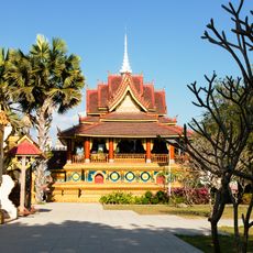
Zongfo Temple
2.2 km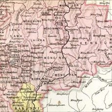
Mongyawng State
101.7 km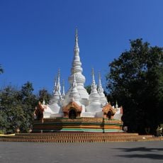
Manfeilong Pagoda
46.4 km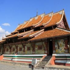
Manduan Buddhist Temple
46 km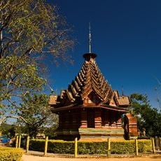
Jingzhen Octagonal Pavilion
50.9 km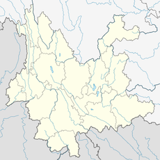
Ganlanba Bridge
22.4 km
Nanla He
60.7 km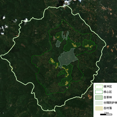
Cultural Landscape of Old Tea Forests of the Jingmai Mountain in Pu’er
83.6 km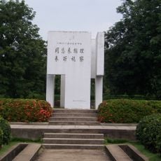
西双版纳花卉园周总理视察热作所纪念碑
1.2 km
Luang Namtha Museum
128.2 km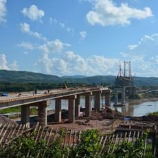
Most Przyjaźni Mjanmańsko-Laotańskiej
129 km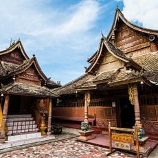
Manchunman Temple
22.9 km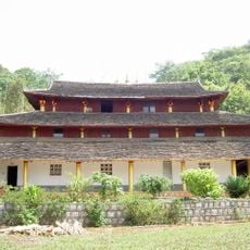
上城佛寺
130.6 km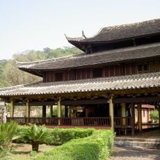
Menglian Xuanfu Residence
130.7 km
Xishuangbanna Nationalities Museum
4.8 km
Phou Ya Ho Yèn
149.4 km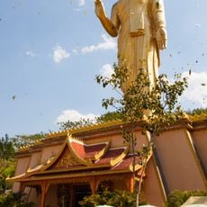
Jinghong Dafo
5.2 km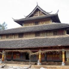
Zhongcheng Temple
130.5 km
Hat Kipo
168.1 km
Y Ma Ho (tumoy sa bukid sa Laos)
148.3 km
Hat Kha (lapyahan, lat 21,43, long 102,35)
173 km
Hat Pok
173 km
Hat On
171.6 km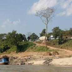
Xieng Kok
124.2 km
Hat Kimpahan
168.4 km
Phou Phyao
93.4 kmReviews
Visited this place? Tap the stars to rate it and share your experience / photos with the community! Try now! You can cancel it anytime.
Discover hidden gems everywhere you go!
From secret cafés to breathtaking viewpoints, skip the crowded tourist spots and find places that match your style. Our app makes it easy with voice search, smart filtering, route optimization, and insider tips from travelers worldwide. Download now for the complete mobile experience.

A unique approach to discovering new places❞
— Le Figaro
All the places worth exploring❞
— France Info
A tailor-made excursion in just a few clicks❞
— 20 Minutes