Jinghong, county-level city
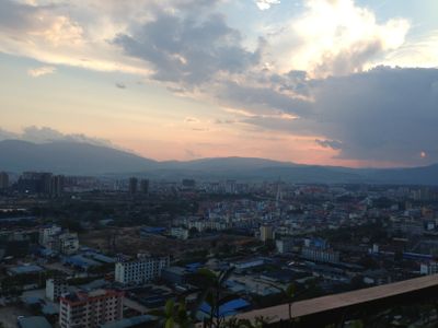
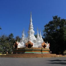
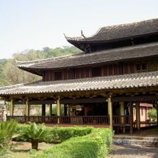
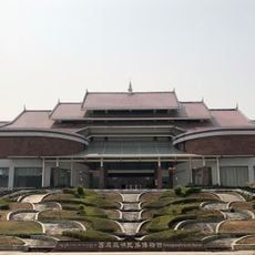
Jinghong is a city in Xishuangbanna in southern Yunnan, characterized by a mix of traditional and modern buildings set within a tropical environment. The streets are alive with night markets, small shops, and restaurants where local food, handmade goods, and tropical fruits are sold, creating a lively and colorful setting.
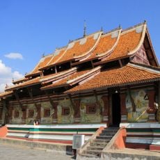
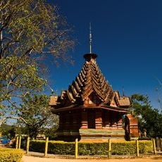
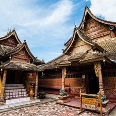
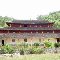
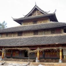
Jinghong has been an important center for the Dai people for hundreds of years, serving as both a cultural hub and later as an administrative seat. Its role in the region's trade and development made it the natural capital of Xishuangbanna and a place where old traditions continue to exist alongside modern growth.
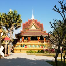
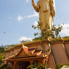
Jinghong is the heart of Dai culture in Yunnan, where local residents keep their traditions alive through daily practices and celebrations. The colorful markets and streets display traditional clothing, food ways, and evening gatherings where people dance and sing together.
Jinghong is easily reached by air from Kunming and other cities, as well as by bus and train connections to nearby towns. Once there, travelers can use registered taxis, rent bicycles, or drive small electric vehicles to explore the city and surrounding areas at their own pace.
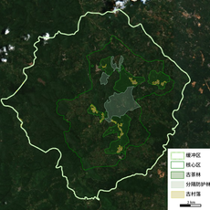
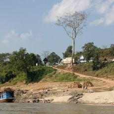
The city serves as a gateway to wild elephants living in nearby forests, animals that are extremely rare in China today. Visitors can watch elephants in their natural habitat or see training demonstrations in special parks, making it one of the few places where such encounters are possible.
The community of curious travelers
AroundUs brings together thousands of curated places, local tips, and hidden gems, enriched daily by 60,000 contributors worldwide.