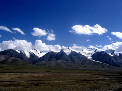
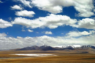
Kunlun Mountains, Mountain range in Western China
The Kunlun Mountains form a long chain stretching more than 3,000 kilometers (1,900 miles) across Western China, marking the northern edge of the Tibetan Plateau. The range runs south of the Tarim Basin and crosses several provinces, serving as a natural boundary between different geographic regions.
During the Han Dynasty, Emperor Wu sent expeditions to locate the source of the Yellow River, which led to the formal naming of these mountains. The exploration of the region helped Chinese rulers understand the geography of their empire and develop trade routes.
The mountains hold profound significance in Chinese mythology as the residence of immortals and the domain of Xi Wang Mu, the Queen Mother of the West.
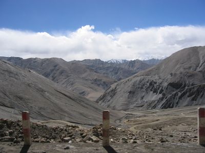
Two major highways cross the range: Highway 219 from Yecheng to Lhatse, and Highway 109 connecting Lhasa with Golmud. Both routes pass through very high elevations with thin air, so proper acclimatization and preparation for the climate are important.
The mountain chain contains more than 70 volcanic cones forming the Kunlun Volcanic Group, with some peaks reaching elevations above 7,000 meters (23,000 feet). The highest point is Liushi Shan at 7,167 meters (23,514 feet), making it one of the tallest mountains in China.
The community of curious travelers
AroundUs brings together thousands of curated places, local tips, and hidden gems, enriched daily by 60,000 contributors worldwide.