Xichang, county-level city
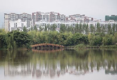
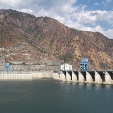
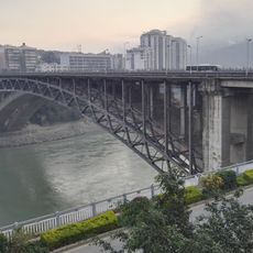
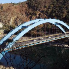
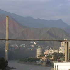
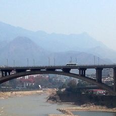
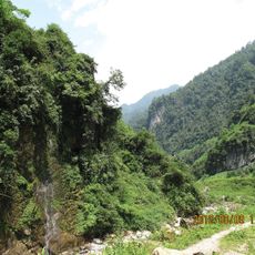
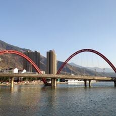
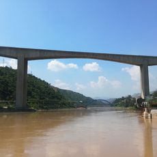
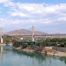
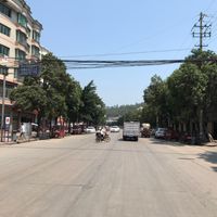
Xichang is a city in the Liangshan Yi Autonomous Prefecture in Sichuan that spreads around Qionghai Lake. It blends mountainous terrain with traditional neighborhoods, local markets, and modern development, surrounded by forests and wetlands that support diverse wildlife.
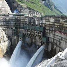
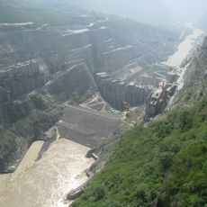
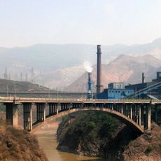
Xichang developed as an administrative center and trading point between Sichuan and Yunnan provinces. From the 1980s onward, the city transformed when China's satellite launch center was established roughly 60 miles northwest, earning it the nicknames China Moon City and China Space City.
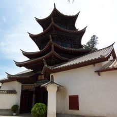
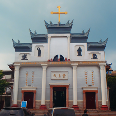
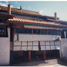
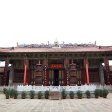
Xichang's name means "western prosperity" and reflects the aspirations of the city. Yi culture is visible everywhere through traditional clothing, crafts like twisted copper wire frames painted with legends, and festivals that celebrate local heroes and customs passed down through generations.
The city is accessible year-round with mild winter temperatures and cool summers, making visits comfortable any time. Visitors can arrive by plane, train, or bus, and moving around the city is straightforward using local buses, taxis, or on foot.
The city is often overlooked despite hosting one of China's most significant space launch facilities, which has been sending satellites into orbit since the early 1980s. This blend of traditional Yi life alongside a modern space program creates an unusual contrast between old culture and technological advancement.
The community of curious travelers
AroundUs brings together thousands of curated places, local tips, and hidden gems, enriched daily by 60,000 contributors worldwide.