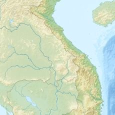
China–Vietnam border, International border between China and Vietnam in Southeast Asia.
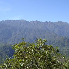
The China-Vietnam border is an international boundary that stretches from mountainous terrain in the west to the Gulf of Tonkin coast in the east. The territory is marked by high mountain ranges in the western sections and flatter landscapes that open toward the sea.
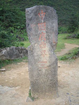
Border demarcation began in 1885 through the Treaty of Tientsin, when France and China established a commission to define the boundary with Tonkin. This early agreement formed the foundation for today's border line between the two nations.
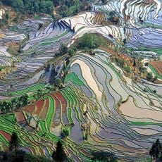
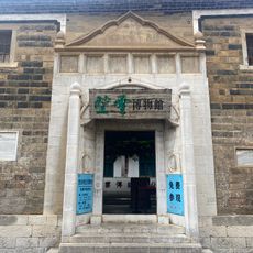
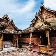
Various ethnic groups inhabit the mountainous regions along the border and maintain their local traditions in small communities. These populations shape the character of the frontier landscapes through their own building styles and daily practices.
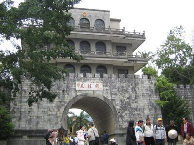
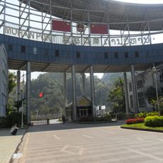
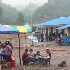
Several official border crossings facilitate trade and travel between the two nations, with local markets connected through established transportation routes. The mountainous western sections are less accessible than the flatter coastal areas in the east, which visitors should keep in mind.
The Red River functions as a natural dividing line between the territories and supports agricultural activities and transportation routes for communities on both sides. This waterway shapes the lives and economy of the border regions to this day.
The community of curious travelers
AroundUs brings together thousands of curated places, local tips, and hidden gems, enriched daily by 60,000 contributors worldwide.