
西郊街道, sous-district chinois
Location: Changjiang District
GPS coordinates: 29.28160,117.18896
Latest update: March 31, 2025 09:29
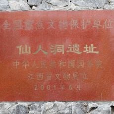
Xianren Cave
60.7 km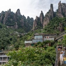
Mount Sanqing
95.8 km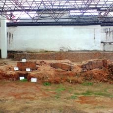
Imperial Kiln in Jingdezhen
2.1 km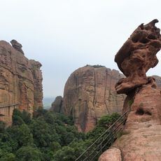
Guifeng
109.4 km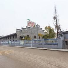
Hutian Kiln
5.5 km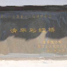
Qinghua Rainbow Bridge
58.3 km
Qianjiangyuan National Forest Park
99.9 km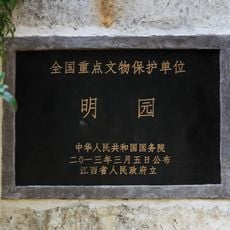
Ming Yuan
1.4 km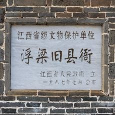
Fuliang Yamen
12.1 km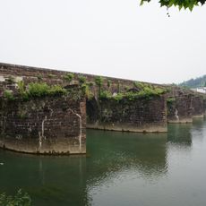
Dengfeng Bridge
103.4 km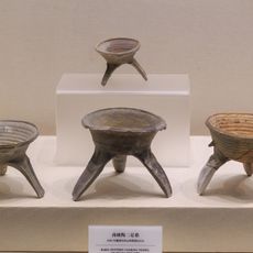
Jiaoshan & Banlishan Site
113.7 km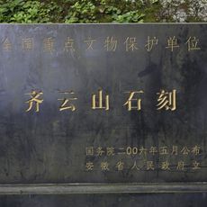
Inscriptions of Mount Qiyun
100.6 km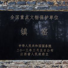
Zhen Kiln
1 km
Dasheng Baota
11.9 km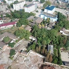
Dieshan Academy
100.5 km
Xitou Sanhuaitang
108.9 km
Xiangjilong Minzhai
2 km
瑶里改编旧址
47.9 km
Pagoda of Yongfu Temple
59.5 km
Ziyang Embankment
113.1 km
Former Site of Min-Zhe-Gan Revolutionary Base Area
86.2 km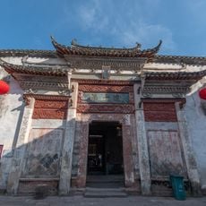
Huangcun Jinshidi
105 km
Nanyan Grotto
104.3 km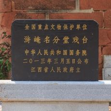
Mingfentang Xitai
44.7 km
Landu Bridge
105.9 km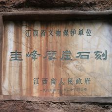
Inscriptions in Guifeng
109.5 km
Yingshiling Reservoir
95.8 km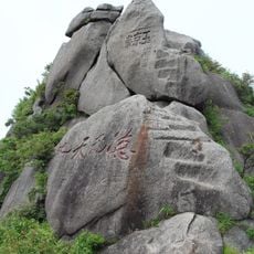
Yujing summit
94.1 kmReviews
Visited this place? Tap the stars to rate it and share your experience / photos with the community! Try now! You can cancel it anytime.
Discover hidden gems everywhere you go!
From secret cafés to breathtaking viewpoints, skip the crowded tourist spots and find places that match your style. Our app makes it easy with voice search, smart filtering, route optimization, and insider tips from travelers worldwide. Download now for the complete mobile experience.

A unique approach to discovering new places❞
— Le Figaro
All the places worth exploring❞
— France Info
A tailor-made excursion in just a few clicks❞
— 20 Minutes