荷塘郷, Gemeinde in China
Location: Changjiang District
GPS coordinates: 29.17750,117.13963
Latest update: March 7, 2025 19:38
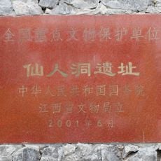
Xianren Cave
49.2 km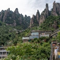
Mount Sanqing
95.5 km
Hehe (kapital sa baranggay sa Republikang Popular sa Tsina, Jiangxi Sheng, lat 29,23, long 116,29)
82.3 km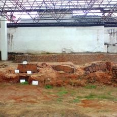
Imperial Kiln in Jingdezhen
14.6 km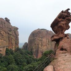
Guifeng
99.1 km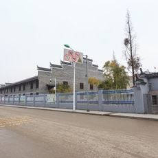
Hutian Kiln
15.9 km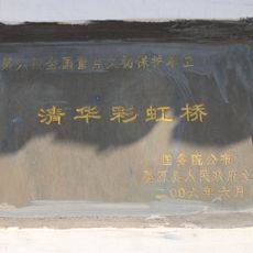
Qinghua Rainbow Bridge
66.7 km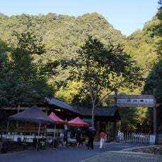
Qianjiangyuan National Forest Park
106.7 km
Dexing mine
60.2 km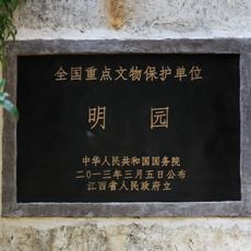
Ming Yuan
13.1 km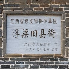
Fuliang Yamen
24.6 km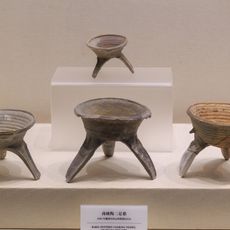
Jiaoshan & Banlishan Site
101.8 km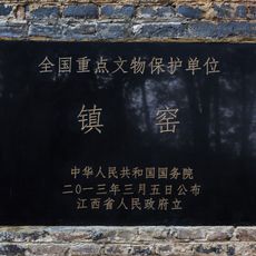
Zhen Kiln
12.9 km
Dasheng Baota
24.4 km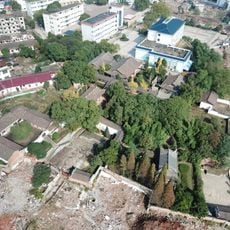
Dieshan Academy
90.7 km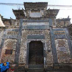
瑶里改编旧址
59.2 km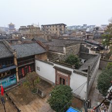
Xiangjilong Minzhai
14.5 km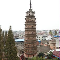
Pagoda of Yongfu Temple
49.8 km
Ziyang Embankment
110.9 km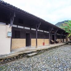
Former Site of Min-Zhe-Gan Revolutionary Base Area
79.5 km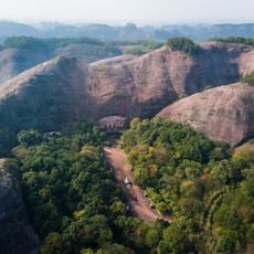
Nanyan Grotto
94.4 km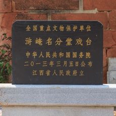
Mingfentang Xitai
32.2 km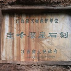
Inscriptions in Guifeng
99.2 km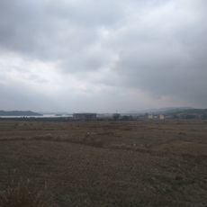
Yingshiling Reservoir
83.7 km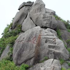
Yujing summit
94.2 km
Muxi Shuiku
68.1 km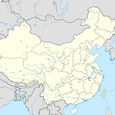
Duanshen Shuiku
90.8 km
Dagangqiao Shuiku
60.7 kmReviews
Visited this place? Tap the stars to rate it and share your experience / photos with the community! Try now! You can cancel it anytime.
Discover hidden gems everywhere you go!
From secret cafés to breathtaking viewpoints, skip the crowded tourist spots and find places that match your style. Our app makes it easy with voice search, smart filtering, route optimization, and insider tips from travelers worldwide. Download now for the complete mobile experience.

A unique approach to discovering new places❞
— Le Figaro
All the places worth exploring❞
— France Info
A tailor-made excursion in just a few clicks❞
— 20 Minutes