Ahlen, Medium-sized Hanseatic municipality in Warendorf District, Germany.
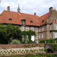
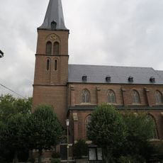
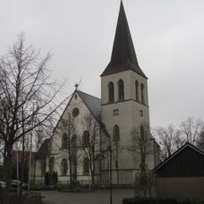
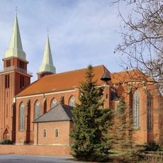
Ahlen is a medium-sized town in Warendorf District in North Rhine-Westphalia, characterized by its compact center and several incorporated localities. The municipal area includes three independent settlements beyond the core town, each with their own village centers and church squares.
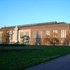
The settlement originated in the Middle Ages as a trading place on important long-distance roads crossing the Münsterland region. Later the place developed into an industrial location, shaped by textile production and coal mining into the 20th century.
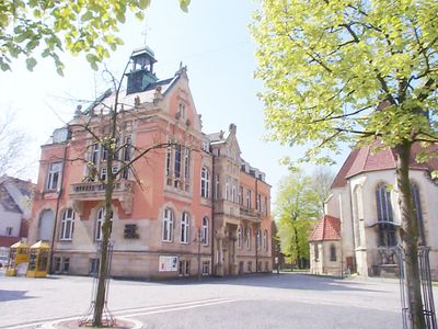
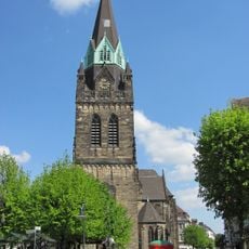
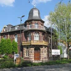
The Town Hall at the market square serves as a focal point for civic events and shows in its architecture the civic tradition of the region. Around the market a lively bustle develops on trading days when vendors set up their stalls and residents meet to shop.
The town center can be reached on foot from the railway station in a few minutes, while the outlying settlements are connected by local bus routes. Weekly markets take place regularly at the central square and offer a good opportunity to discover local products.
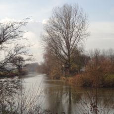
The name of the town probably derives from the Old Saxon word for eels, which were formerly caught in nearby waters. To this day the town coat of arms with its silver eel recalls this connection to the fishing tradition of the region.
The community of curious travelers
AroundUs brings together thousands of curated places, local tips, and hidden gems, enriched daily by 60,000 contributors worldwide.