Kirchwerder, Administrative quarter in Bergedorf, Germany
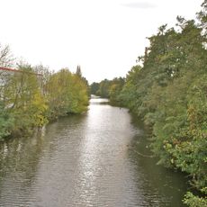
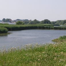
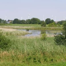
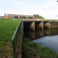
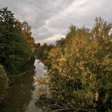
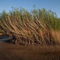
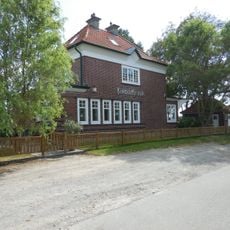
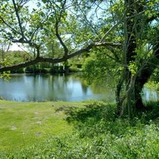
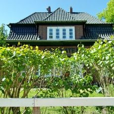
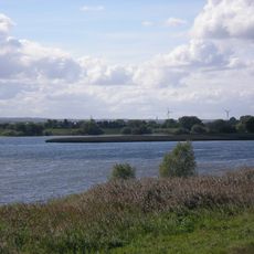
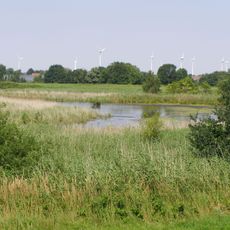
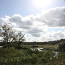
Kirchwerder is a quarter in the Bergedorf district at Hamburg's southeastern border, extending along the Elbe river and characterized by green spaces. The area combines rural features with urban infrastructure and houses several schools and educational facilities.
The area was first documented in 1217 under the name Insula Kercwerdere, marking the beginning of an established settlement along the Elbe. This early record shows that the region had long been important as a place of habitation.
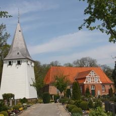
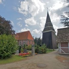
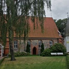
The St. Severini Church shapes the local character with its classical architecture and serves as a gathering place for the community. Its distinctive exterior and visible steeple make it a recognizable landmark in the area.
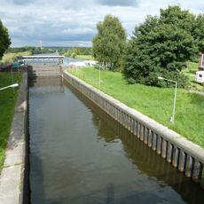
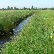
Visitors find here a good mix of rural peace and urban conveniences with various schools and local services. Proximity to the Elbe and green areas makes the district particularly suitable for walks and exploration.
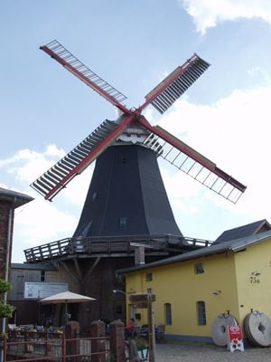
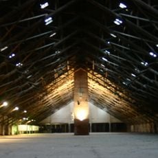
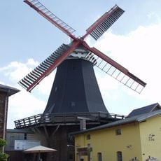
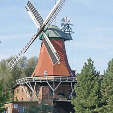
The Riepenburger Mill from 1828 is one of Germany's last functioning windmills and was renamed Boreas in 2006. This historical structure shows how traditional craftsmanship techniques are preserved in the area.
The community of curious travelers
AroundUs brings together thousands of curated places, local tips, and hidden gems, enriched daily by 60,000 contributors worldwide.