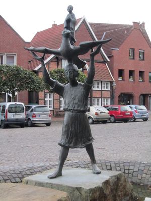
Drensteinfurt, German town
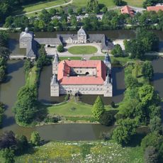
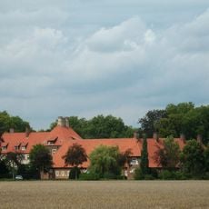
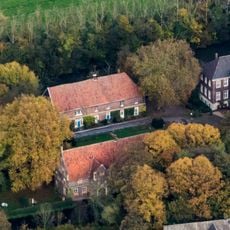
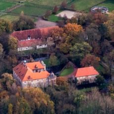
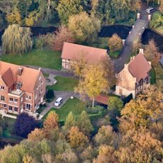
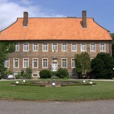
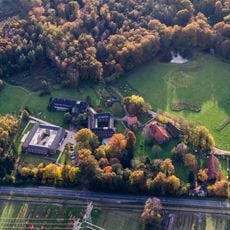
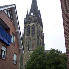
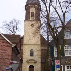
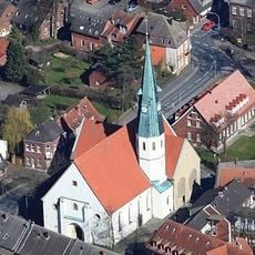
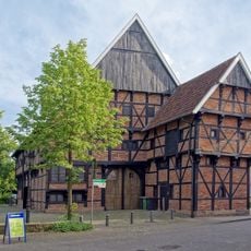
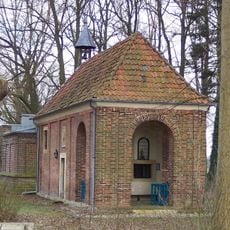
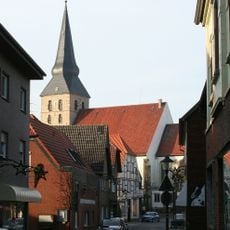
Drensteinfurt is a small town in Warendorf District with around 15,000 residents, characterized by traditional half-timbered houses and a rural setting. The town features the St. Regina Church, the Alte Post building from 1647, Haus Steinfurt castle, and four other castles nearby, alongside small museums dedicated to mills and beekeeping traditions.
Drensteinfurt grew around a historic river crossing where trade routes met and goods were exchanged. The town developed as a fortified settlement with three main gates for defense, whose ruins still stand as reminders of its protected past.
The name Drensteinfurt comes from old words meaning 'ford of the dren,' referring to a shallow river crossing where people once traded goods and connected different routes. Today, this heritage lives on as locals gather at markets and festivals, keeping farming traditions alive and sharing stories that bind the community together.
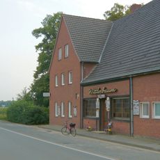
The town is easily accessible by car, bicycle, or public transport, with well-maintained roads and pathways throughout. Wear comfortable shoes, as most sights are best explored on foot or by bike, allowing you to enjoy the stone-paved streets and surrounding countryside at your own pace.
The town is part of the 100 Castles Route, connecting over 100 historic castles and manor houses across the region to help visitors discover medieval history. The St. James Pilgrims' Way, opened in 2008, winds through fields and forests, linking the town to a network of traditional pilgrimage routes.
The community of curious travelers
AroundUs brings together thousands of curated places, local tips, and hidden gems, enriched daily by 60,000 contributors worldwide.