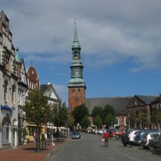
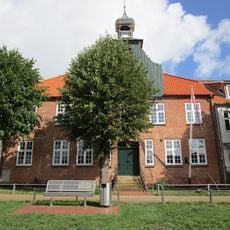
Tönning, Urban municipality in Nordfriesland district, Germany.
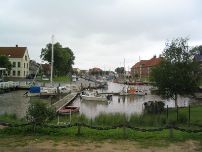
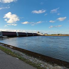
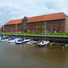
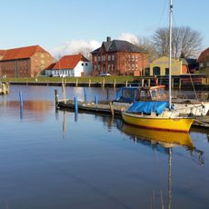
Tönning is a town on the northern bank of the Eider River, roughly eight kilometers from the North Sea coast. It sits only about 6-7 feet (2 meters) above sea level, creating a flat waterside setting characteristic of northern Germany.
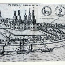
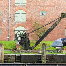
The town suffered severe damage during the Burchardi flood of 1634, a catastrophic storm surge that reshaped the entire region. Later, it endured two sieges during the Great Northern War between 1700 and 1721, revealing its strategic military importance.
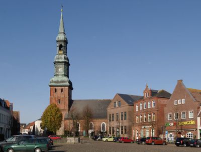
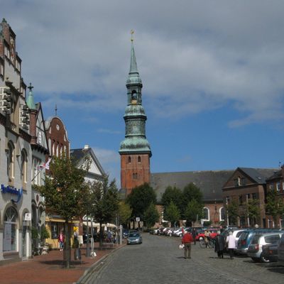
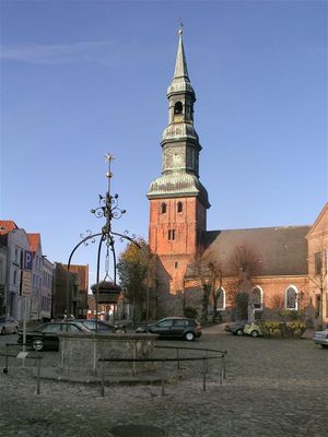
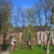
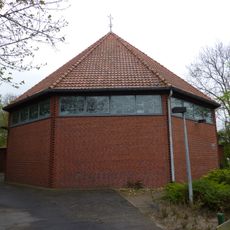
The St. Lawrence Church showcases religious traditions through its architecture and remains an active center for worship and community events. Visitors can enter the building freely and see how the local faith community has gathered here through the centuries.
The town connects to nearby cities through regular regional train services, making it accessible from larger towns in the area. Local bus routes also link it to other communities in Nordfriesland, helping you explore the surrounding region.
Friedrich von Esmarch, who founded the civilian rescue aid system in Germany, received honorary citizenship in 1897 and is remembered through a monument in the castle park. His medical innovations transformed how emergency aid was taught and practiced across the country.
The community of curious travelers
AroundUs brings together thousands of curated places, local tips, and hidden gems, enriched daily by 60,000 contributors worldwide.