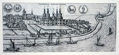
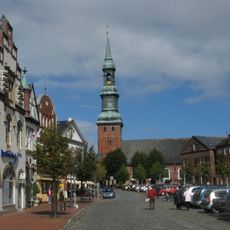
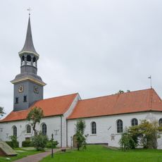
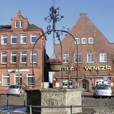
Tönning Castle, Iron Age hillfort in Tönning, Germany.
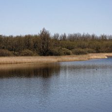
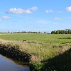
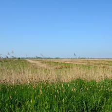
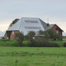
Tönning Castle is an Iron Age hillfort located on elevated terrain near the Eider River, featuring earthen ramparts that once supported wooden structures. The site's layout shows how defensive positions were arranged across the landscape, with the surrounding topography playing a key role in its ancient design.
The hillfort began during the Iron Age and experienced continuous settlement for centuries, with Roman coins indicating long-distance trade connections. The site saw two major sieges in the early 1700s, ending when Swedish forces surrendered to Danish troops, which triggered its final decline.
The site's name reflects the ruling families who controlled the region across many periods, and its layout reveals layers of different settlement eras. Walking through today, you can sense how various cultures shaped the physical space over generations.
The site is accessible by regional trains connecting Tönning to nearby towns, making it easy to reach from surrounding areas. Since this is an archaeological site with uneven terrain, wear sturdy shoes and allow extra time if the ground is wet.
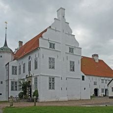
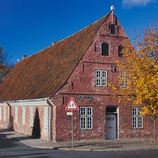
The fortress and palace structures were completely demolished after military defeats and treaty requirements in the 1730s. Today only the earthen ramparts remain, turning this from a seat of power into a landscape shaped by war and loss.
The community of curious travelers
AroundUs brings together thousands of curated places, local tips, and hidden gems, enriched daily by 60,000 contributors worldwide.