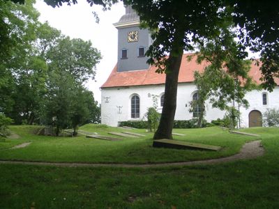
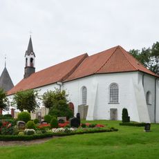
Geschlechterfriedhof Lunden, Heritage cemetery in Lunden, Germany
Geschlechterfriedhof Lunden is a heritage cemetery in this town containing roughly 67 graves with various burial structures and memorial stones spanning several centuries. The burial ground includes stone vaults, burial slabs, and upright monuments made from Weser sandstone and Belgian materials.
The cemetery dates to the 16th century and reflects the political and economic power held by farming families during the Dithmarschen Farmers' Republic in the region. This period shaped the community's social structure and left marks on the graves of the most influential families.
The gravestones display family emblems and inscriptions that tell the story of local families. They give visitors insight into the social bonds and family connections that existed across generations in this community.
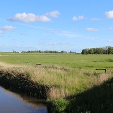
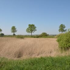
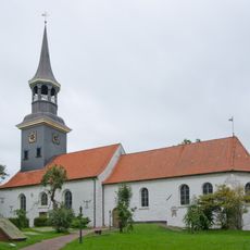
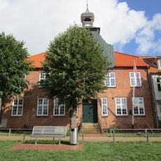
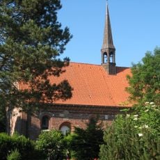
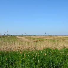
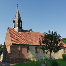
The cemetery sits on elevated dune land beside St. Laurentius Church and is surrounded by walls standing between one and two meters tall. Its location next to the church building makes the site straightforward to find and visit.
The cemetery holds thirteen preserved burial vaults where the deceased were interred in an upright position, with the largest vault measuring about 5.60 meters long. This vertical burial method is uncommon in the region and shows the special traditions of this local community.
The community of curious travelers
AroundUs brings together thousands of curated places, local tips, and hidden gems, enriched daily by 60,000 contributors worldwide.