Nürtingen, Administrative town in Esslingen district, Germany.
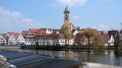
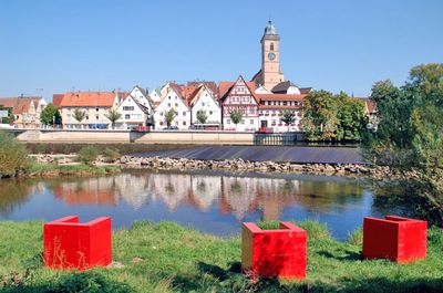
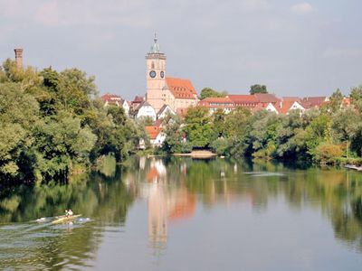
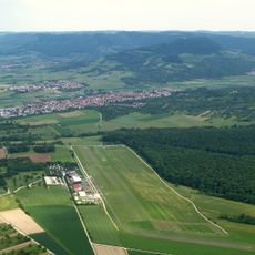
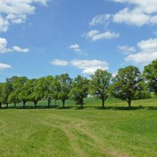
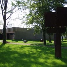
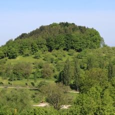
Nürtingen is an administrative town in the Esslingen district, situated along the Neckar River at around 291 meters elevation and bordered by municipalities such as Aichtal and Wendlingen. The settlement occupies a central position between the river valley and the foothills of the Swabian Jura.
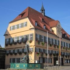
In 1046, Heinrich III transferred Niuritingin to the chapter of Speyer, marking the early documented mention of this settlement. Nearly three centuries later, in 1335, the settlement received city rights and developed into a regional center.
The Maientag, initiated in 1602, continues as a traditional procession through Nürtingen, marking generations of local heritage and community celebrations.
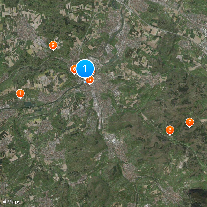
The town lies 21 kilometers from Stuttgart and is accessible through direct transport connections. Visitors can use the vehicle registration prefix ES and the dialing code 07022 when looking for local addresses and contacts.
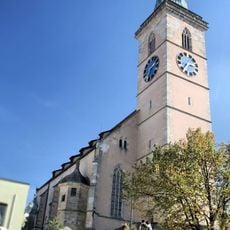
A devastating fire in 1750 destroyed 133 buildings and the subsequent reconstruction efforts decisively shaped the current urban structure. This catastrophe led to an almost complete redesign of large parts of the townscape, whose traces remain visible today.
Location: Esslingen
Location: Nürtingen VVG
Elevation above the sea: 283 m
Shares border with: Beuren
Website: https://nuertingen.de
GPS coordinates: 48.62659,9.33655
Latest update: December 4, 2025 23:42
Max-Planck-Gymnasium Nürtingen
417 m
Hölderlinhaus
120 m
Filderwasserversorgung
3.9 km
Steinach
5.4 km
Blockturm Nürtingen
206 m
Freibad Nürtingen
828 m
Burgstelle Tiefenbach
6.4 km
LSG 'Tiefenbachtal' vom 15.10.1958
5.6 km
Teufelsbrücke
2.6 km
Villa rustica of Nürtingen
1.3 km
Teufelsklinge
2.6 km
Kirche Raidwangen
3.5 km
Albvorland Nürtingen-Kirchheim
2.3 km
Albtrauf Beuren
7.5 km
LSG 'Gebiete bei Unterensingen und Zizishausen' (4 Teilgebiete) vom 25.03.1985 geändert am 04.11.1999
3.2 km
LSG 'Autmuttal bei Großbettlingen, Geigersbühl und Gewann Gelber Brunnen' (3 Teilgebiete) vom 24.07.1981
4.7 km
Gebiete um Nürtingen und Reudern
3.1 km
LSG 'Gebiete um Frickenhausen, Linsenhofen und Tischardt' (4 Teilgebiete) vom 02.03.1982
4.8 km
Wolfschlugen
5.1 km
Marbachtal
2.4 km
LSG 'Beuren' vom 09.04.2001
6.9 km
Sammlung Domnick Nürtingen
485 m
Stadtkirche St. Laurentius
77 m
Engelberg (Beuren)
7.7 km
Rathaus Nürtingen
84 m
Neckarabschnitt
3.2 km
Ortsbücherei Wolfschlugen
4.6 km
Felsengruppe und Wasserfall im Döbelwald
3.8 kmVisited this place? Tap the stars to rate it and share your experience / photos with the community! Try now! You can cancel it anytime.
Discover hidden gems everywhere you go!
From secret cafés to breathtaking viewpoints, skip the crowded tourist spots and find places that match your style. Our app makes it easy with voice search, smart filtering, route optimization, and insider tips from travelers worldwide. Download now for the complete mobile experience.
A unique approach to discovering new places❞
— Le Figaro
All the places worth exploring❞
— France Info
A tailor-made excursion in just a few clicks❞
— 20 Minutes