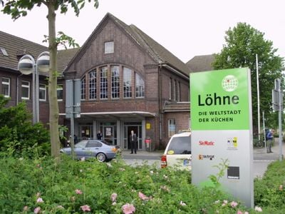
Löhne, Urban municipality in Herford district, Germany.
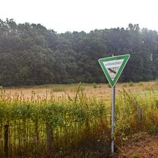
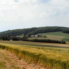
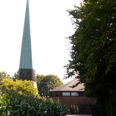
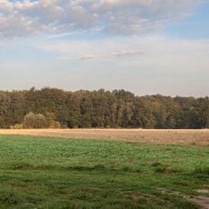
Löhne is a medium-sized town in Herford district, North Rhine-Westphalia, with a layout typical of Westphalian industrial towns. The settlement sits near the Teutoburg Forest and features smaller waterways that shape its character and local geography.
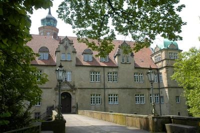
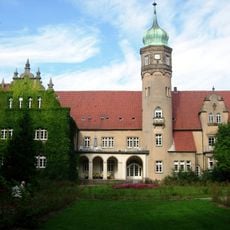
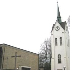
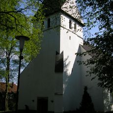
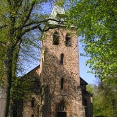
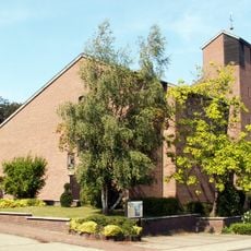
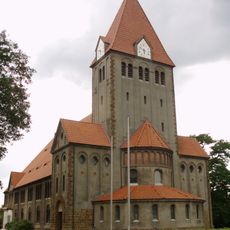
The town first appears in written records around 993 when Emperor Otto II granted the local church to Memleben Monastery. Over the following centuries it grew as a trading center until the 1800s brought industrial development that reshaped its economy.
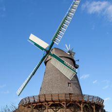
The old mill by Landwehrstraße now hosts art shows and cultural events where visitors can meet local creators. The space reflects how the town has transformed its industrial past into a meeting place for artists and the community.
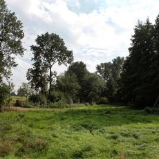
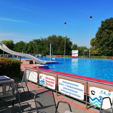
The town has several recreational facilities including indoor and outdoor pools that operate seasonally. Visitors will find good transportation connections and can easily reach the nearby Teutoburg Forest area for day trips.
The town uses multiple telephone area codes simultaneously, reflecting its role as a connection point between different regions. This quirk reveals the complex historical ties that link it to surrounding communities.
Location: Herford
Elevation above the sea: 70 m
Shares border with: Hüllhorst, Bad Oeynhausen, Vlotho, Herford, Hiddenhausen, Kirchlengern
Website: https://loehne.de
GPS coordinates: 52.20000,8.70000
Latest update: December 17, 2025 09:26
Aqua Magica
5.7 km
Schloss Ulenburg
3 km
Blutwiese
4.1 km
Hom Berg
5.3 km
St. Laurentius
922 m
Windmühle Exter
7.8 km
Evangelische Kirche Mahnen
1.3 km
Simeon Church (Gohfeld)
4 km
Heimatmuseum Löhne
3.1 kmHeinrich-Schneider-Brücke
3 km
Großsteingrab von Werste
5.5 km
Evangelische Kirche Mennighüffen
2.1 km
Lukaskirche
4.3 km
Johanneskirche
5.6 km
Heideholz
7.1 km
Arnholz
6.5 kmBenkhöfer Bruch
6 km
Freibad Löhne
1.3 km
Christuskirche
851 mLSG-Tal- und Sieksystem des Ravensberger Huegellandes <Teich und Feuchtwiese noerdlich Grimmighausen>
4.9 kmBramschebach - Nagelsbachtal
4.3 kmLSG-Tal- und Sieksystem des Ravensberger Huegellandes <Siek suedlich der ehemaligen Tonabgrabung>
5.6 kmLSG-Tal- und Sieksystem des Ravensberger Huegellandes <Ehemals Sandabgrabungsgelaende, Abgrabungsgewaesser "Dickertsee">
2.8 kmLSG-Tal- und Sieksystem des Ravensberger Huegellandes <Siek und Teich am Nordwestrand des Ulenburger Waldes>
3.3 kmLSG-Tal- und Sieksystem des Ravensberger Huegellandes <Bachlauf mit Siek und Waldflaechen "Turlake">
2.7 kmLSG-Tal-und Sieksysteme des Ravensberger Huegellandes und des Herforder Berglandes <Siek am Osthang des Hombergs>
5.3 kmLSG-Tal- und Sieksystem des Ravensberger Huegellandes <Werreniederung mit Wasserlauf, Uferzone und angrenzenden Auenbereichen>
768 mLSG-Tal- und Sieksystem des Ravensberger Huegellandes <Elseniederung mit Wasserlauf, Uferzone und angrenzenden Auenbereichen zwischen Kraftwerk und Muendung in die Werre>
2.3 kmVisited this place? Tap the stars to rate it and share your experience / photos with the community! Try now! You can cancel it anytime.
Discover hidden gems everywhere you go!
From secret cafés to breathtaking viewpoints, skip the crowded tourist spots and find places that match your style. Our app makes it easy with voice search, smart filtering, route optimization, and insider tips from travelers worldwide. Download now for the complete mobile experience.
A unique approach to discovering new places❞
— Le Figaro
All the places worth exploring❞
— France Info
A tailor-made excursion in just a few clicks❞
— 20 Minutes