Osterholz-Scharmbeck, District capital in Lower Saxony, Germany.
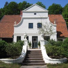
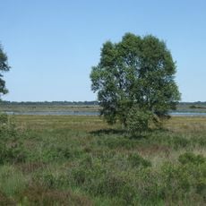
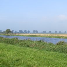
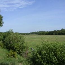
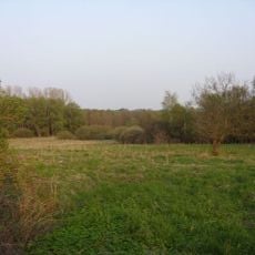
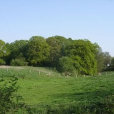
This town is a district capital in Lower Saxony and sits on flat terrain between Bremen and Bremerhaven at roughly 36 feet (11 meters) elevation. The built-up area extends across residential zones, administrative buildings and green spaces that define the townscape.
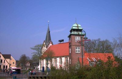
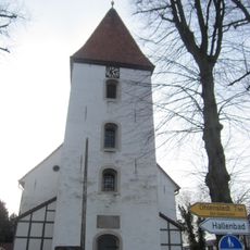
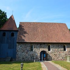
A settlement at this location was documented in 1043 under the name Scirnbeci. In 1182 monks founded a monastery in Osterholz that existed until 1650 and shaped the region.
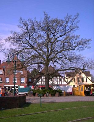
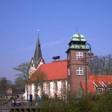
The settlement serves as the administrative seat of the district and connects residential areas with public institutions such as schools and offices. Markets and shops in the center attract visitors from surrounding communities and shape the daily life of residents.
The place sits close to Bremen and allows easy connections into the region by both car and public transport. Visitors can explore the center on foot to observe the local structure and everyday life.
Between 1978 and 1992 around 4,200 US soldiers and their families lived here as part of a military unit. This presence brought American influences into daily life and left traces in the local infrastructure.
Location: Osterholz
Elevation above the sea: 11 m
Shares border with: Ritterhude, Worpswede, Schwanewede, Lilienthal, Lower Saxony, Hambergen, Vollersode, Lübberstedt
Website: https://osterholz-scharmbeck.de
GPS coordinates: 53.22694,8.79472
Latest update: December 13, 2025 17:24
Ziegenbockstation
980 m
Worpsweder Käseglocke
9 kmWeyerberg
8.7 km
Barkenhoff
9.2 km
Zion's Church
8.5 km
Teufelsmoor
8 km
Saint Mary Church
1.2 km
Gauß stone
6.6 km
St. Willehadi-Kirche
623 m
Hammeniederung
3.6 km
Hünenstein
215 m
Pipe organ in Zionskirche (Worpswede)
8.5 km
Mühle von Rönn
411 mHeidhofer Teiche
7.4 km
Maria Frieden
9 km
Torfkanal und Randmoore
7.4 kmBrundorfer Moor
8.7 kmGlockenbechergrab von Wallhöfen
11 km
St. Cosmae und Damiani
9.5 km
St. Luciakirche (Wulsbüttel)
12.9 km
Moor bei Niedersandhausen
5.4 km
Heide und Moor bei Haslah
9.8 kmGarlstedter Heide- und Moorlandschaft mit Heidhofer Teichen
9.8 km
Heerweger Moor und Quellbereiche der Ritterhuder Beeke
5.3 kmWiesen und Weiden nordöstlich des Breiten Wassers
7.2 km
Quelltäler der Wienbeck
2 km
Pennigbütteler Moor
3.1 km
Schönebecker Aue
5.6 kmVisited this place? Tap the stars to rate it and share your experience / photos with the community! Try now! You can cancel it anytime.
Discover hidden gems everywhere you go!
From secret cafés to breathtaking viewpoints, skip the crowded tourist spots and find places that match your style. Our app makes it easy with voice search, smart filtering, route optimization, and insider tips from travelers worldwide. Download now for the complete mobile experience.
A unique approach to discovering new places❞
— Le Figaro
All the places worth exploring❞
— France Info
A tailor-made excursion in just a few clicks❞
— 20 Minutes