Schönau im Schwarzwald, Urban municipality in Baden-Württemberg, Germany
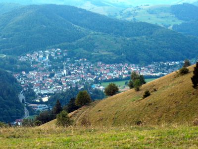
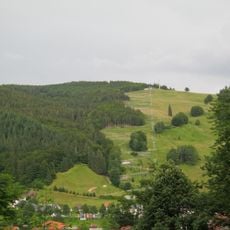
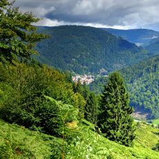
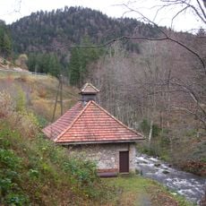
Schönau im Schwarzwald is an urban municipality in Baden-Württemberg that sits at about 540 meters elevation in the upper Wiese Valley, ringed by the highest peaks of the Southern Black Forest. The town spreads across multiple valleys and slopes that shape its geography.
The settlement first appeared in records in 1113 and belonged to St. Blasien Monastery before becoming part of the Grand Duchy of Baden in 1805. These changes in control shaped the area's political and economic development across centuries.
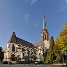
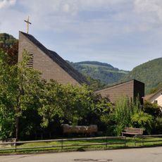
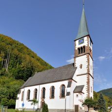
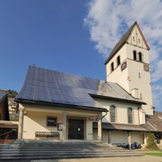
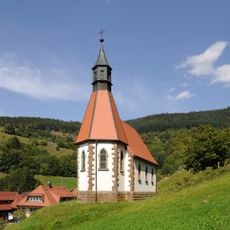
The town is home to both Catholic and Protestant congregations, showing the religious balance that developed over centuries. Visitors can see both church buildings in the center and notice how they reflect different architectural traditions.
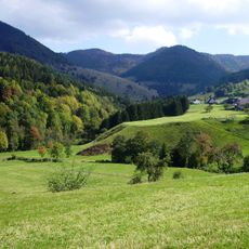
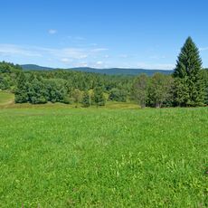
The town sits in a mountainous area with good hiking trails through forests and valleys that are accessible year-round. Visitors will find local shops and services in the center, and spring through fall offers the best walking conditions when paths are dry.
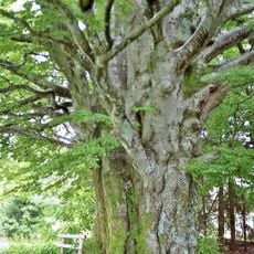
Next to the Catholic church stands the Old Court Linden tree, a natural monument where the final death sentence was pronounced in 1737. This ancient tree now quietly reminds visitors of how justice was carried out in past centuries.
The community of curious travelers
AroundUs brings together thousands of curated places, local tips, and hidden gems, enriched daily by 60,000 contributors worldwide.