Black Forest Biosphere Reserve, Biosphere reserve in Baden-Württemberg, Germany
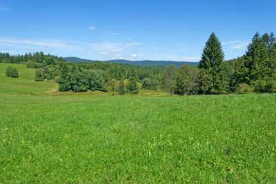
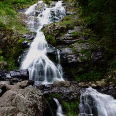
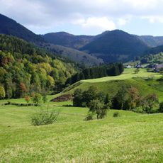
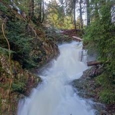
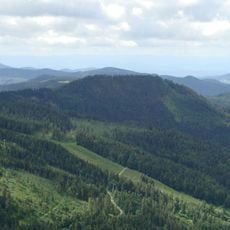
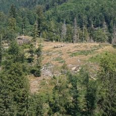
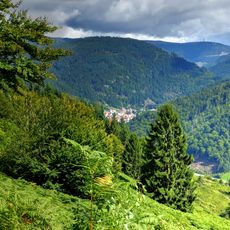
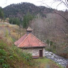
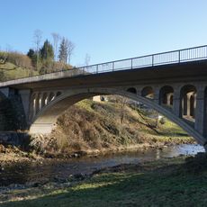
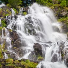
The Black Forest Biosphere Reserve is a large protected area in southwestern Germany that encompasses dense forests, open meadows, and pastures across elevations between 310 and 1,400 meters. The landscape spreads across 29 municipalities and balances nature protection with sustainable development in the region.
UNESCO established this biosphere reserve in 2016 to protect the region's natural landscapes and support sustainable development. The designation reflected Germany's commitment to preserving these diverse forest areas for future generations.
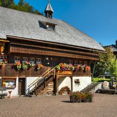
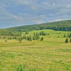
Traditional Black Forest farming shapes the landscape here, with cattle and goats grazing across mountain meadows and open pastures. This age-old way of managing the land keeps the terrain open and gives the region its distinctive character.
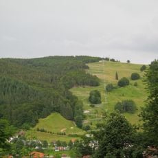
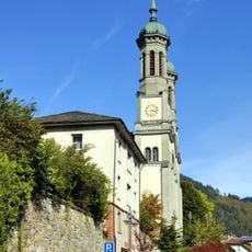
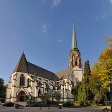
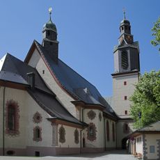
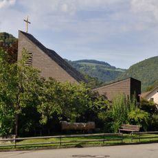
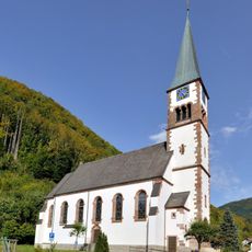
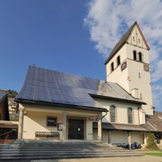
Access to the reserve is available through hiking trails and observation points in surrounding municipalities like Bernau and Todtnau, which serve as good starting points. On-site educational programs help visitors understand the natural environment and local ways of living.
The reserve connects nature protection with an innovative model where communities and businesses partner to develop sustainable tourism. This collaboration demonstrates how economic activity and nature conservation can work together.
Location: Bernau im Schwarzwald
Location: Wehr
Location: Häusern
Location: Häg-Ehrsberg
Location: Todtnau
Location: Schopfheim
Location: Böllen
Location: Horben
Location: Wieden
Location: Oberried
Location: Wembach
Location: Aitern
Location: Hausen im Wiesental
Location: Hinterzarten
Location: Tunau
Location: Schönenberg
Location: Schönau im Schwarzwald
Location: Zell im Wiesental
Location: Utzenfeld
Location: Schluchsee
Location: Fröhnd
Location: Dachsberg
Location: Kleines Wiesental
Location: Ühlingen-Birkendorf
Location: St. Blasien
Location: Ibach
Location: Albbruck
Location: Höchenschwand
Location: Freiburg im Breisgau
Inception: 2016
GPS coordinates: 47.78917,7.95750
Latest update: December 12, 2025 12:02
Todtnau Waterfall
6.3 km
Gletscherkessel Präg
1.5 km
Hasenhorn
3.4 km
Parish Church of St. John the Baptist in Todtnau
4.8 km
Todtmooser Wasserfall
5.2 km
Silberberg
6.2 kmResenhof
6.7 km
Maria-Himmelfahrt-Kirche
4.8 km
Wallfahrtskirche Todtmoos
6.3 km
Heimethus
6.7 km
Burg Altenstein
6.3 km
Maria Königin
3.5 km
Utzenfluh
3.7 km
Weidbuche in Todtmoos
4 km
Taubenmoos
5.7 km
St. Wendelin
2.1 km
E-Werk Wacht
2.8 km
Bergkirche Schönau
5 km
König-Christus-Kirche (Todtnau)
4.7 km
Kastler Brücke
6.3 km
St. Anna
6.5 km
St. Wendelin
6.3 km
Herz-Jesu-Kirche
2.5 km
Gasthaus Hasenhorn
3.6 km
Hans-Thoma-Kunstmuseum
6 km
Gletscherkessel Präg und Weidfelder im Oberen Wiesental
2.9 km
Wasserfall (Todtnauer/Todtnauberger Wasserfall)
6.2 km
Todtmooser Wasserfälle
5.1 kmVisited this place? Tap the stars to rate it and share your experience / photos with the community! Try now! You can cancel it anytime.
Discover hidden gems everywhere you go!
From secret cafés to breathtaking viewpoints, skip the crowded tourist spots and find places that match your style. Our app makes it easy with voice search, smart filtering, route optimization, and insider tips from travelers worldwide. Download now for the complete mobile experience.
A unique approach to discovering new places❞
— Le Figaro
All the places worth exploring❞
— France Info
A tailor-made excursion in just a few clicks❞
— 20 Minutes