Tamm, municipality in Germany
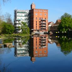
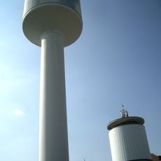
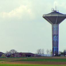
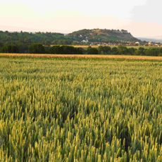
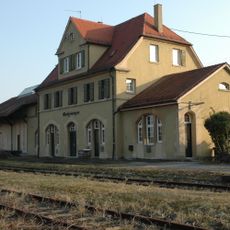
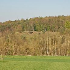
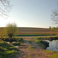
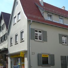
Tamm is a small town in Ludwigsburg District with a quiet, organized mix of historic and modern neighborhoods arranged around a traditional town center. The town has a modernized train station, local shops and parks, while fields and gentle hills surround the settled areas.
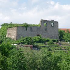
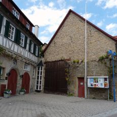
Tamm was first documented in 1287 and belonged to the Counts of Württemberg for centuries. In the 17th century the town was heavily destroyed during the Thirty Years' War, but was rebuilt afterward, and in the 18th century residents helped construct the Ludwigsburg Palace.
The name Tamm reflects its roots as a farming settlement, and you can see this heritage in the town's coat of arms with a plow and gear symbolizing agriculture and later industry. These symbols remain part of how locals identify their place today.
Tamm is well connected and easily reached by train from the modernized station, with regular service throughout the day. The nearby A81 highway enables quick drives to Stuttgart or other cities, and local buses run regularly within and around the town.
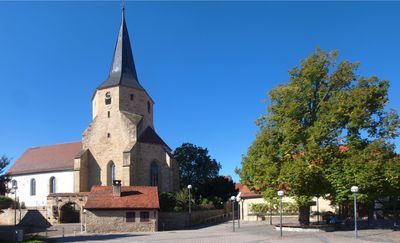
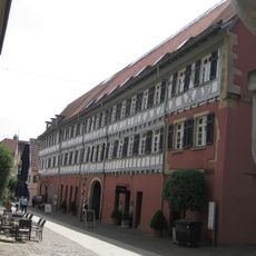
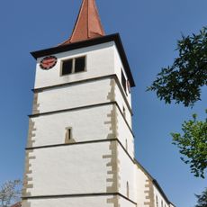
The Church of Saint Bartholomew with its thick stone walls has stood for centuries and survived the devastation of the Thirty Years' War, making it a silent witness to the town's turbulent past. This building is the oldest landmark and is surrounded by historic half-timbered houses from earlier times.
The community of curious travelers
AroundUs brings together thousands of curated places, local tips, and hidden gems, enriched daily by 60,000 contributors worldwide.