Brand-Erbisdorf, municipality of Germany
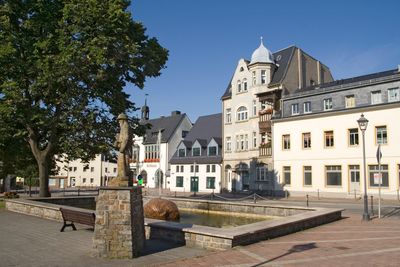
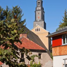
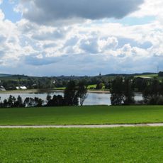
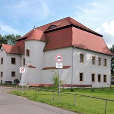
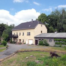
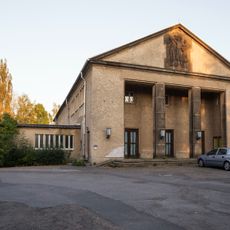
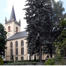
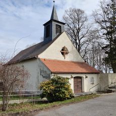
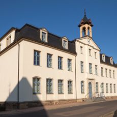
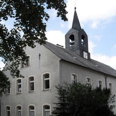
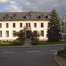
Brand-Erbisdorf is an urban municipality in Mittelsachsen district that developed from a mining settlement. The town features a mix of older structures tied to its industrial past and newer buildings, with quiet streets that are easy to navigate on foot.
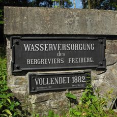
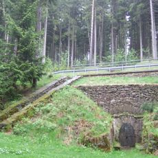
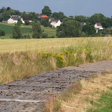
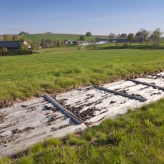
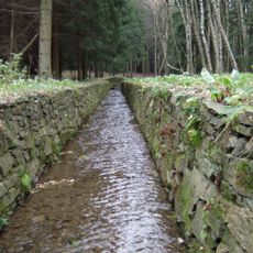
The town first appeared in written records in 1209, though settlement may have begun in the 12th century. Silver mining dominated local life for centuries until operations gradually declined in the 20th century, when woodworking and other industries replaced extraction as the main economic activities.
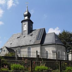
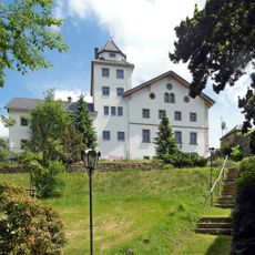
The town's identity is deeply rooted in its mining heritage, which residents continue to honor through local traditions and community gatherings. Seasonal markets and festivals here reflect how people celebrate and preserve the character shaped by generations of mining work.
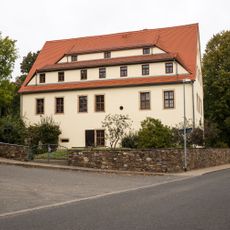
The town is easily walkable and most facilities are within a short distance of each other. Regional roads provide good access to the area, and the town hall in the center serves as a helpful landmark for visitors exploring on foot.
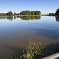
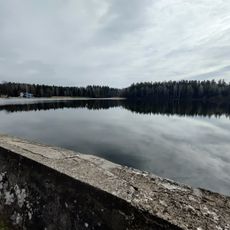
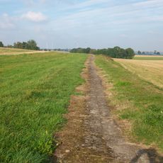
The region is recognized as a UNESCO World Heritage site for its mining landscape. This designation honors the profound influence that mining had on the local environment and culture across multiple centuries.
The community of curious travelers
AroundUs brings together thousands of curated places, local tips, and hidden gems, enriched daily by 60,000 contributors worldwide.